


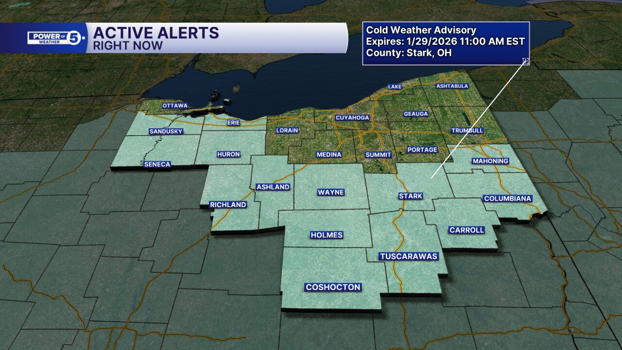
CLEVELAND — Another Cold Weather Advisory is in effect through 11 AM Thursday, for our southern and western communities. Wind chills from -15 to -20 will be possible. This does not include Cleveland or Akron, but still anticipate sub-zero wind chills in those areas not under the advisory.
Isolated lake effect snow showers will still be possible for the next several days; thankfully, accumulations should be minor. But roads will still be slick! So take extra time and take it slow while traveling.
Temperatures look to be even colder Thursday night and again Friday night. Temps Friday & Saturday morning will be a few degrees BELOW zero with wind chills as low as -25º. You're going to hear a lot about the Polar Vortex weakening and allowing arctic air to spill south and into Ohio.
Temperatures once we head into February do look to moderate, but remain below average.
Stay Warm, Northeast Ohio!
DAILY FORECAST:
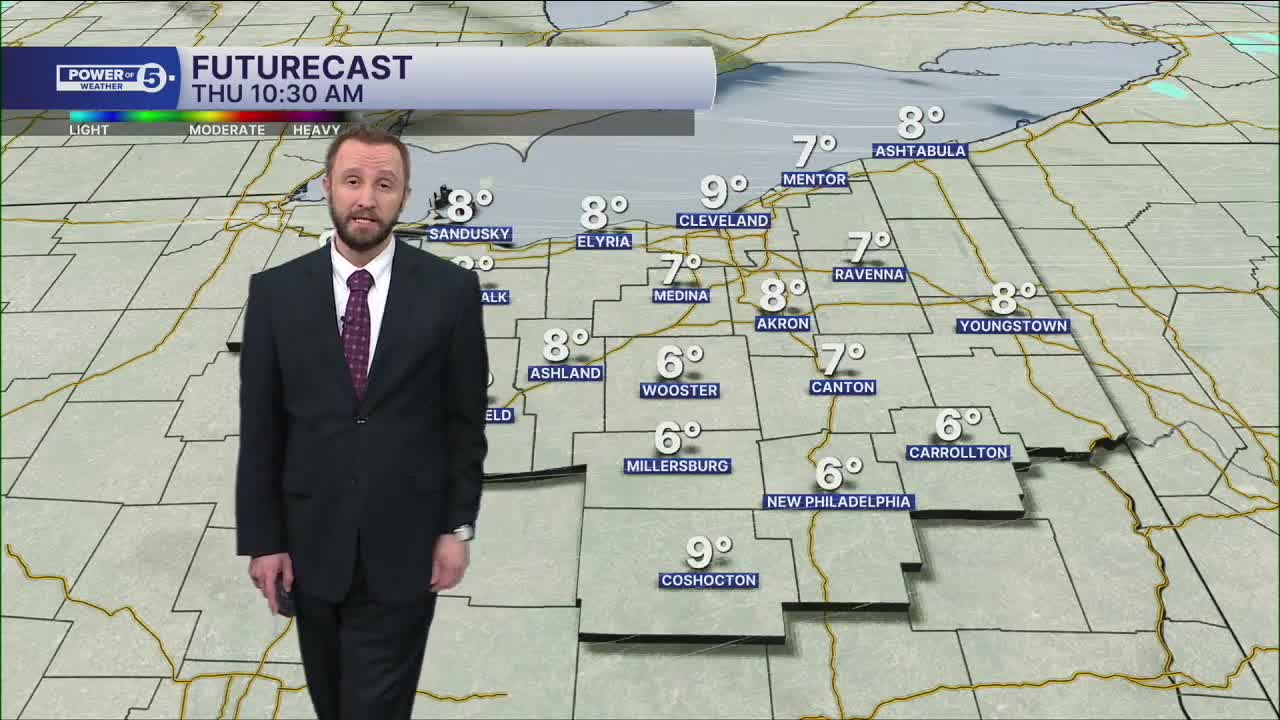
Thursday: Isolated snow possible & frigid | High: 13º
Friday: Isolated snow showers possible, cold. | High: 11º
Saturday: Isolated snow showers possible, cold. | High: 12º
Sunday: Isolated snow showers possible, cold. | High: 17º
Monday: Few snow showers possible, cold. | High: 22º
Tuesday: Isolated snow showers possible, cold. | High: 26º
Want the latest Power of 5 weather team updates wherever you go? Download the News 5 App free now: Apple|Android
Click here to view our interactive radar.
Follow the News 5 Weather Team:
Trent Magill: Facebook & Twitter
Katie McGraw: Facebook & Twitter
Phil Sakal: Facebook & Twitter
Allan Nosoff: Facebook & Twitter
