


CLEVELAND — Skies will be mostly clear as we head into the evening, with temperatures falling back into the mid 40s for most by early Monday morning.
More warmth will move in for the start of the new work week, as highs surge into the upper 60s and lower 70s by Monday through Wednesday.
More sunshine will be with us on Monday, but clouds will begin to filter in by Tuesday. Rain chances will begin to arrive again by Tuesday afternoon and will be highest on Wednesday, along with the threat for strong to severe storms. Something we'll keep an eye on!
Colder air will then filter in for Thursday, and we might see some morning snowflakes, as highs will only be in the 30s.
DAILY FORECAST:
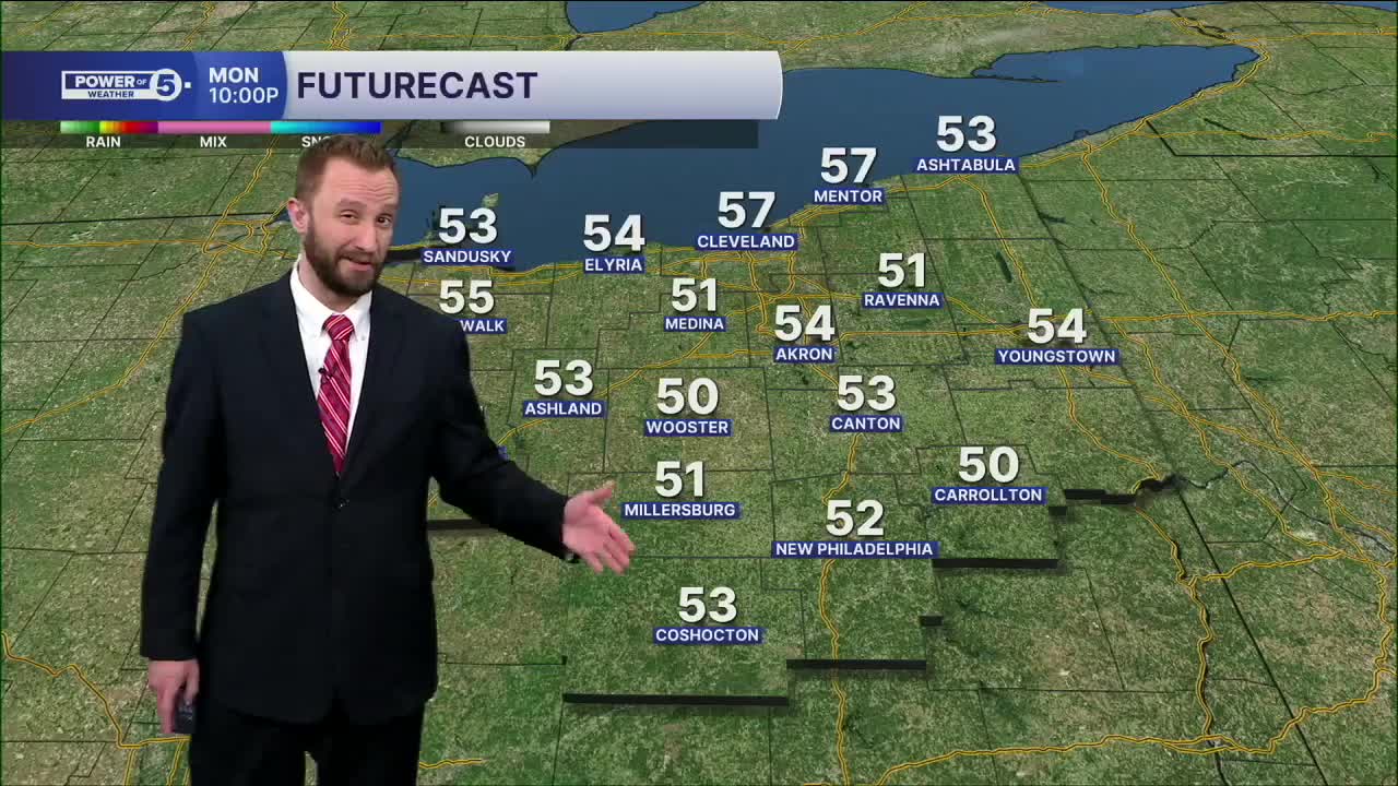
Monday: Sunny and warmer. Still breezy. | High: 70º
Tuesday: Partly cloudy and warm. Isolated PM showers. | High: 74º
Wednesday: Severe storms possible. Rapidly dropping temps late. | High: 67º
Thursday: Much colder. Isolated morning flakes. | High: 37º
Friday: Few showers possible. Warmer. | High: 50º
Want the latest Power of 5 weather team updates wherever you go? Download the News 5 App free now: Apple|Android
Click here to view our interactive radar.
Follow the News 5 Weather Team:
Trent Magill: Facebook & Twitter
Katie McGraw: Facebook & Twitter
Phil Sakal: Facebook & Twitter
Allan Nosoff: Facebook & Twitter
