


CLEVELAND — Widespread rain with embedded thunder and downpours hanging around until the AM Drive on Thursday. Temperatures will be well above average, with many locations in the mid to upper 40s to begin Thursday morning.
There's another wave right on the way. Plan on more downpours and thunder midday into Thursday afternoon, along with temperatures well into the 50s to near 60 for most areas.
These rounds of rain will fill our creeks and streams. Main rivers should be able to handle the flow, but we'll be monitoring river gauges closely. As an inch plus of rain will be possible for many through the end of Thursday evening.
We'll see a brief reprieve from the widespread rain on Friday, before more significant rain and even storms move in for the start of the weekend. Temperatures will continue to be well above average, with highs into the 60s on Friday, and nearing 70 on Saturday. Cleveland has not seen 70 or higher since October 19, 2025, nearly 140 days ago!
DAILY FORECAST:
Thursday: Another wave of heavy rain/thunder. | High: 56º
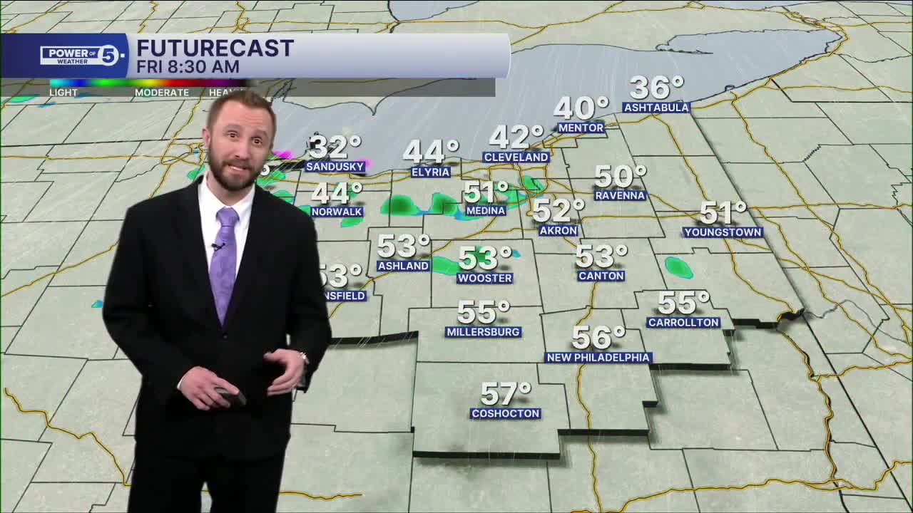
Friday: A few rain showers. Warmer | High: 63º
Saturday: Scattered t-showers. | High: 68º
Sunday: Isolated Showers. Cooler. | High: 56º
Monday: Drier. Partly Sunny. | High: 63º
Tuesday: Showers possible. Warmer Again. | High: 67º
Want the latest Power of 5 weather team updates wherever you go? Download the News 5 App free now: Apple|Android
Click here to view our interactive radar.
Follow the News 5 Weather Team:
Trent Magill: Facebook & Twitter
Katie McGraw: Facebook & Twitter
Phil Sakal: Facebook & Twitter
Allan Nosoff: Facebook & Twitter
