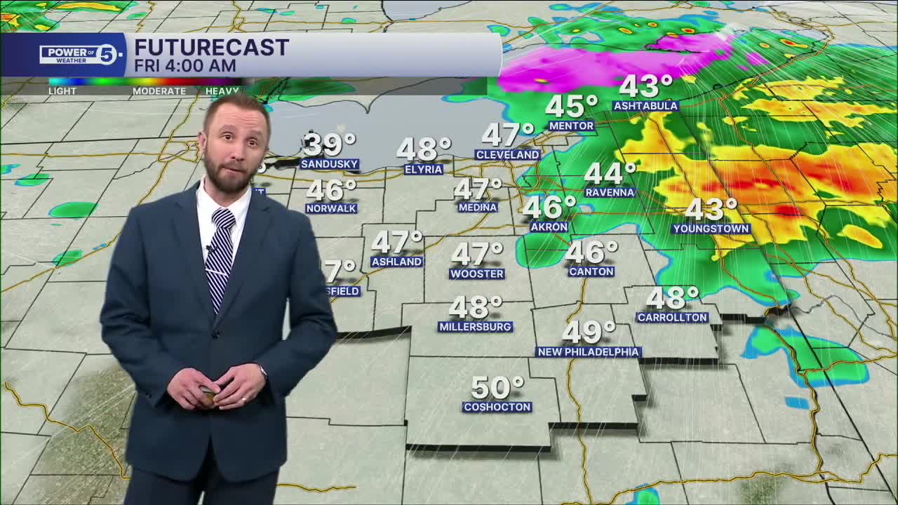


CLEVELAND — More widespread rain will move in from southwest to northeast through early Friday.
With the rain and falling temperatures, ice jams and flooding are major threats to Northeast Ohio rivers tonight. We're watching the river levels closely. Make sure you're signed up for local mobile alerts if you live in any flood-prone areas, especially with the concern of warmer temperatures and rain in the forecast.
Most of the rain should be gone by early Friday morning. And winter is making a return by the afternoon. After a brief time at 50 degrees midday, the temperature drops with snow squalls likely by the afternoon rush and then even lake-effect by the evening. Some quick accumulations are possible, of around an inch or two.
Colder air is locked in for the weekend with 30s during the day and 20s at night, with more snow likely on Sunday, with a few inches of snow possible.
DAILY FORECAST:
Friday: Early rain. Few PM rain/snow showers. Breezy & falling temperatures. | High: 50º Early
Saturday: Partly cloudy. Colder. | High: 38º
Sunday: Snow likely. Touch colder. | High: 34º
Monday: Few snow showers. Colder. | High: 27º
Tuesday: Isolated snow showers. Cold. | High: 33º
Wednesday: Scattered Mix/Rain Showers. Seasonable. | High: 42º
Thursday: More clouds. Seasonable. | High: 40º
Want the latest Power of 5 weather team updates wherever you go? Download the News 5 App free now: Apple|Android
Click here to view our interactive radar.
Follow the News 5 Weather Team:
Trent Magill: Facebook & Twitter
Katie McGraw: Facebook & Twitter
Phil Sakal: Facebook & Twitter
Allan Nosoff: Facebook & Twitter
