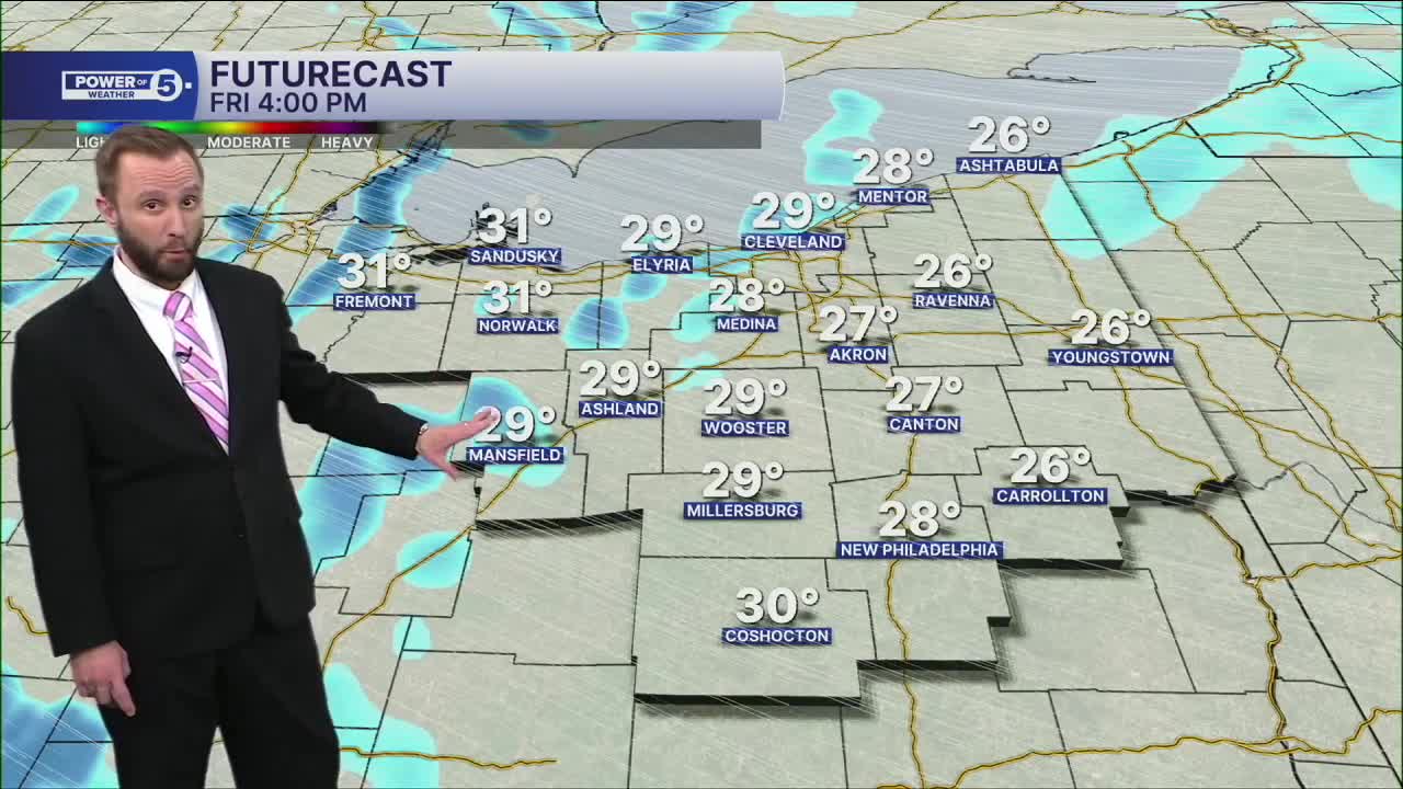


CLEVELAND — There will be two rounds of snow on Friday. The first round will be with a clipper, from 6 a.m. through early afternoon, with moderate-to-heavy bands. The snow will be slushy with temps closer to 30º by afternoon. That means it'll be tougher to shovel. Roads will also be tougher to clear. The second round will be with an arctic cold front, from 4 p.m. through 10 p.m., with snow showers and snow squalls. Visibility and travel will be tricky with the wind picking up.
Snow totals on Friday will be a general 1 to 3 inches across the region, with some pockets of 4 to even 5 inches. Higher totals will be in parts of the snowbelt.
Lake effect snow will then develop heading into Saturday as more arctic air returns to NEO. Lake Huron is still wide open, and Lake Erie has enough open water for fuel. That means additional snowfall is likely where squalls persist through Saturday afternoon. Morning temperatures to begin the weekend will be below zero, and not 'warming' much. Highs will only top off in the upper single digits to lower teens. Wind Chills will be well below zero, and could be as cold as -24° at times.
There is some hope for seeing seasonable temperatures, but we will have to be patient. Highs are trending warmer by Tuesday and next Wednesday...stay tuned!
DAILY FORECAST:
Friday: Snow likely with bursts of heavy snow for the AM and PM commutes. | High: 30º
Saturday: Lake effect snow possible. Frigid.| High: 9º
Sunday: Another clipper possible with morning snow showers. | High: 16º
Monday: Warmer. Mostly cloudy. | High: 27º
Want the latest Power of 5 weather team updates wherever you go? Download the News 5 App free now: Apple|Android
Click here to view our interactive radar.
Follow the News 5 Weather Team:
Trent Magill: Facebook & Twitter
Katie McGraw: Facebook & Twitter
Phil Sakal: Facebook & Twitter
Allan Nosoff: Facebook & Twitter
