


CLEVELAND — After a very warm day and stormy evening, temperatures are falling fast across NEO.
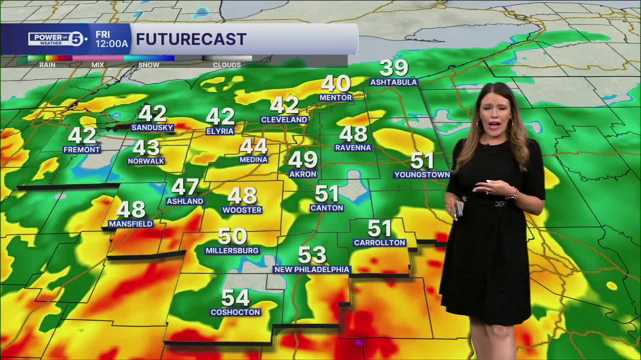
Severe storms have ended, but widespread rain will continue for the next several hours. Rain will end before the sun comes up, but since a cold front dropped our temperatures from the 70s Thursday afternoon into the 30s by sunrise Friday, a few wet snow showers will be possible overnight.
Friday will be significantly colder all day. Highs will stay stuck around freezing (about 30-40 degrees colder than Thursday). A few additional flakes will be possible, too.
A few more snow showers cannot be ruled out early on Saturday, but most of the weekend will be dry, and there will be ANOTHER gradual warming trend over the weekend and into early next week.
Speaking of next week, it looks warm with temperatures in the 70s...but also wet! Plan for repeated rounds of rain for several days. We will keep you posted!
DAILY FORECAST:
Tonight: Soggy night with falling temps. | Low: 31º
Friday: Much colder with a couple of flakes. | High: 33º
Saturday: Isolated early snow shower. Mostly cloudy and still chilly. | High: 44º
Sunday: Milder again. More sunshine. | High: 55º
Monday: Warmer again. Showers possible. | High: 63º
Tuesday: Better shot at rain. Touch warmer. | High: 67º
Want the latest Power of 5 weather team updates wherever you go? Download the News 5 App free now: Apple|Android
Click here to view our interactive radar.
Follow the News 5 Weather Team:
Trent Magill: Facebook & Twitter
Katie McGraw: Facebook & Twitter
Phil Sakal: Facebook & Twitter
Allan Nosoff: Facebook & Twitter
