


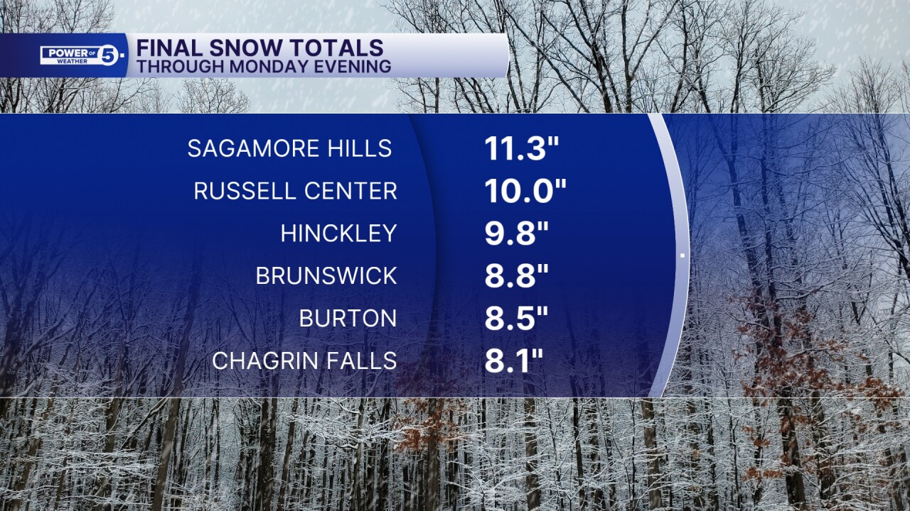
CLEVELAND — After four to as many as 11" of snow fell across parts of the snowbelt Sunday night and Monday, the lake effect is finally ending overnight. The big totals were where squalls persisted, in Geauga and northern Summit counties. See map below.
One thing everyone has been dealing with on Monday and will contend with for the Tuesday morning commute is the cold. Lows will dip down to the lower teens, and with the wind, will feel like single digits.
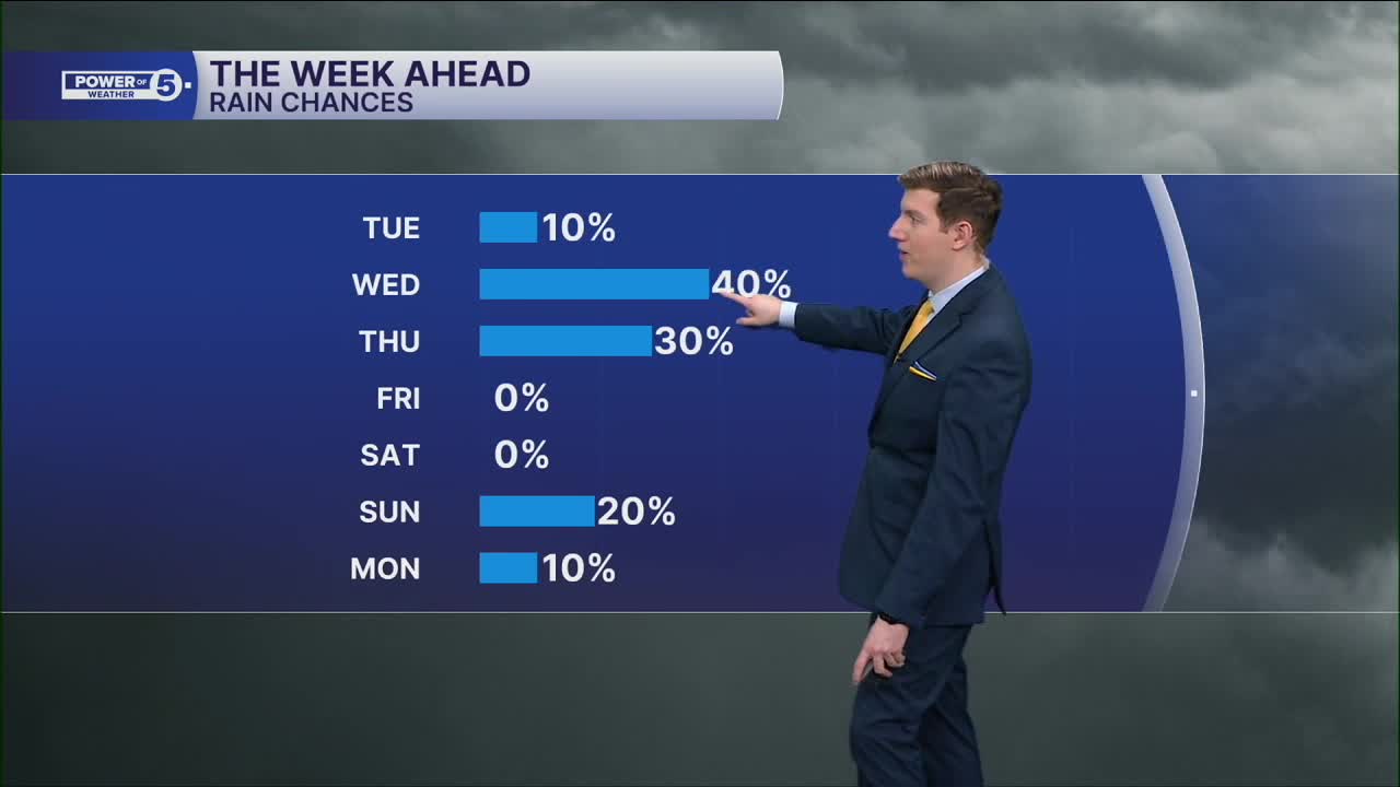
While the snow shuts down overnight, into Tuesday, another clipper rolls through by the tail end of the evening commute Tuesday into the wee hours of Wednesday morning. That will drop another inch to three inches, similar to Sunday.
DAILY FORECAST:
Tuesday: Cold with wind picking up late and snow showers after sunset. | High: 33º
Wednesday: Clipper likely early, warmer after. | High: 39º
Thursday: Watching Closely. A south shift in storm track means colder but little or no snow. | High: 32º
Friday: More sunshine, seasonable. | High: 44º
Want the latest Power of 5 weather team updates wherever you go? Download the News 5 App free now: Apple|Android
Click here to view our interactive radar.
Follow the News 5 Weather Team:
Trent Magill: Facebook & Twitter
Katie McGraw: Facebook & Twitter
Phil Sakal: Facebook & Twitter
Allan Nosoff: Facebook & Twitter
