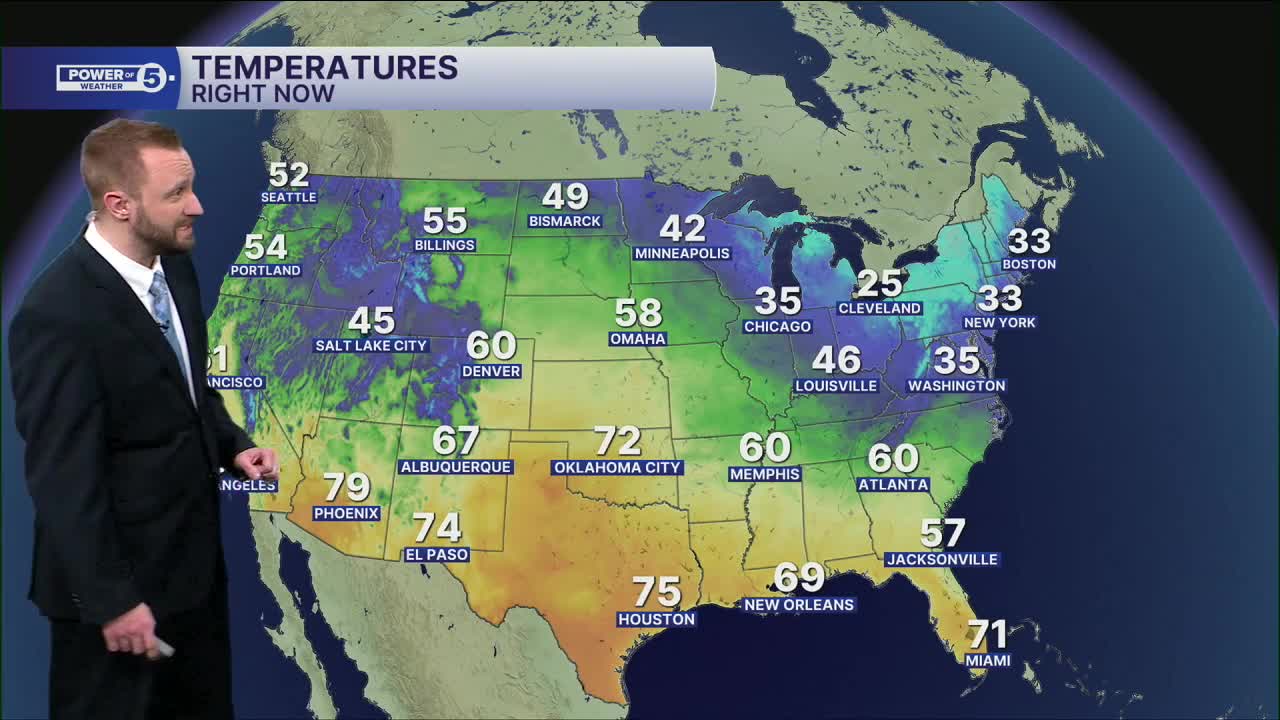


CLEVELAND — Skies are going to clear, as high pressure builds in tonight. That means temps are going to plummet overnight. We're starting our Friday in the teens. Thankfully, wind will be slim to none, so wind chills shouldn't be a big deal.
Despite the frigid start on Friday, we'll rebound nicely by Friday afternoon, along with more sunshine!
I'm talking near 40º Friday, middle and upper 40s this weekend (maybe some rain Sunday, mainly in our southern communities) followed by 50s next week. Who's ready for the thaw?!
DAILY FORECAST:
Friday: More sunshine. Warmer. | High: 42º
St. Valentine's Day: Dry & partly cloudy. | High: 45º
Sunday: Warmer. Rain chances south. | High: 48º
President's Day: Warmer. Partly Sunny. | High: 50º
Tuesday: Warmer Again. | High: 52º
Wednesday: Rain chances return. Cooler. | High: 48º
Thursday: Rain possible. Chilly. | High: 44º
Want the latest Power of 5 weather team updates wherever you go? Download the News 5 App free now: Apple|Android
Click here to view our interactive radar.
Follow the News 5 Weather Team:
Trent Magill: Facebook & Twitter
Katie McGraw: Facebook & Twitter
Phil Sakal: Facebook & Twitter
Allan Nosoff: Facebook & Twitter
