


CLEVELAND — Temperatures will drop back into the mid to upper 20s for most areas by early Tuesday morning. So the winter coats will be a necessity Tuesday morning. But, you won't need them all day Tuesday.
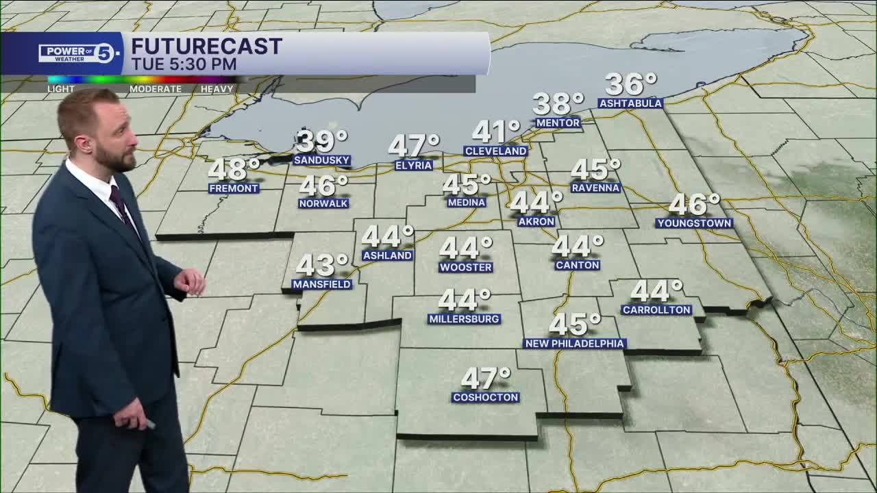
More seasonable temps return by Tuesday afternoon with more sunshine, as we'll top off in the upper 40s to near 50. This will be followed by 60s, and even 70s by midweek. Enjoy it because after the rebound, the drop returns.
Storms roll through Thursday, along with strong to severe storms possible Thursday afternoon/evening, and then dropping temperatures into the 30s again by Friday.
DAILY FORECAST:
Tuesday: More sunshine. Seasonable. | High: 48º
Wednesday: Mostly cloudy. Warmer. | High: 55º
Thursday: Rain/Storms Late. Warmer. | High: 72º
Friday: Early showers. Colder again. | High: 35º
Saturday: Mostly cloudy. Warmer. | High: 44º
Sunday: Mostly cloudy. Touch Warmer. | High: 54º
Want the latest Power of 5 weather team updates wherever you go? Download the News 5 App free now: Apple|Android
Click here to view our interactive radar.
Follow the News 5 Weather Team:
Trent Magill: Facebook & Twitter
Katie McGraw: Facebook & Twitter
Phil Sakal: Facebook & Twitter
Allan Nosoff: Facebook & Twitter
