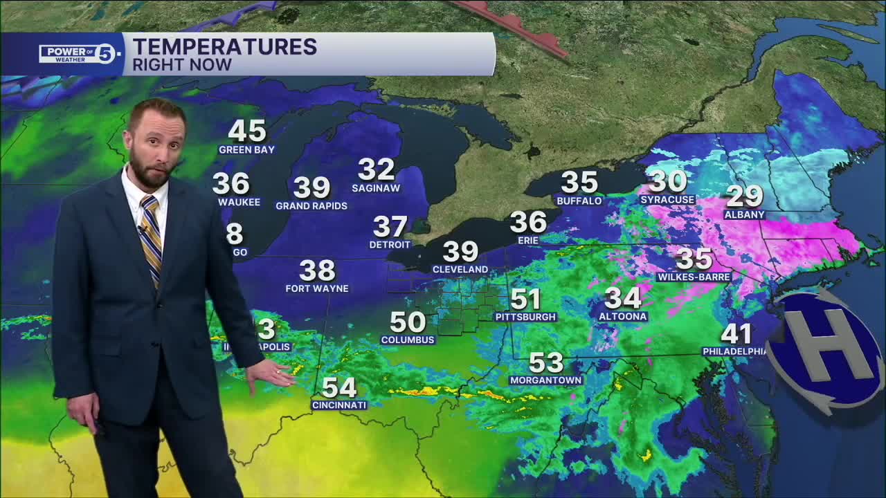


CLEVELAND — Dense fog will continue through the morning on Wednesday, especially along the shoreline counties, where a dense fog advisory is in effect until 11 AM Wednesday.
After the fog, more rain will begin to move in on Wednesday, primarily for the second half of the day. Then, the real party begins Thursday as another, much more potent storm will unlock more warmth and moisture, meaning 60s are likely, but so are scattered downpours and rumbles.
Wednesday through Saturday, at least an inch and a half is likely, with isolated spots of over 2-3 inches where downpours stall out (mainly Thursday). While each storm will not bring too much, the fact that there will be a consistent dose of new rain on top of dry ground is a recipe for scattered minor flooding, particularly in spots that do not typically see it.
If the jet stream lifts far enough north to push most of the rain over the lake, AND avoid a lake breeze, 70s are likely everywhere on Saturday, which would be within five degrees of a record in most locations. Given this is still several days away, check back for forecast updates.
DAILY FORECAST:
Wednesday: Morning Dense Fog. Warming up with rain returning late. Warmer inland. | High: 47º
Thursday: Better shot at rain and possible t-storms. | High: 62º
Friday: Showers possible. Warmer inland. | High: 63º
Saturday: Scattered rain. Storms possible. 70s inland. | High: 68º
Sunday: Isolated Showers. Cooler. | High: 58º
Monday: Drier. Partly Sunny. | High: 59º
Tuesday: Showers possible. Warmer inland. | High: 61º
Want the latest Power of 5 weather team updates wherever you go? Download the News 5 App free now: Apple|Android
Click here to view our interactive radar.
Follow the News 5 Weather Team:
Trent Magill: Facebook & Twitter
Katie McGraw: Facebook & Twitter
Phil Sakal: Facebook & Twitter
Allan Nosoff: Facebook & Twitter
