


CLEVELAND — Temperatures will be much colder on Wednesday and Thursday, with most in the Teens for highs. A stray flurry chance will be possible on Wednesday, but more snow will be on the way to round out the week.
That's Friday. Plan on shovelable snow with heavier snow in the forecast late Thursday into the day on Friday. Temperatures will warm up on Friday, with highs around 30, but it will be a fleeting warm-up—another shot of brutal cold on the way for the weekend. Lake effect snow will be possible with the frigid air moving back in on Saturday, especially.
DAILY FORECAST:
Wednesday: Stray flurry otherwise mostly cloudy and colder. | High: 20º
Thursday: Sun & clouds, cold. Snow returns late| High: 20º
Friday: Snow showers likely with bursts of heavy snow embedded at times. | High: 30º
Saturday: Lake effect snow possible. Frigid.| High: 11º
Want the latest Power of 5 weather team updates wherever you go? Download the News 5 App free now: Apple|Android
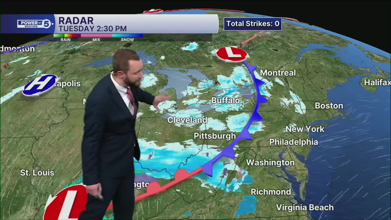
Click here to view our interactive radar.
Follow the News 5 Weather Team:
Trent Magill: Facebook & Twitter
Katie McGraw: Facebook & Twitter
Phil Sakal: Facebook & Twitter
Allan Nosoff: Facebook & Twitter
