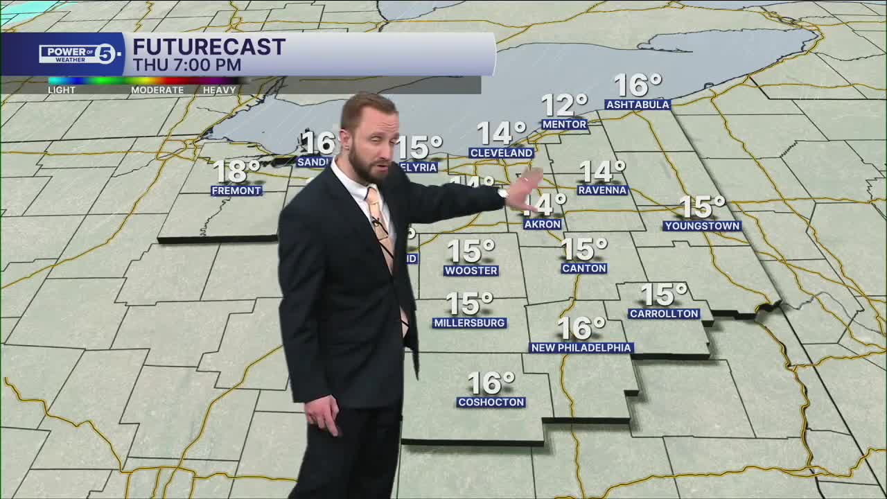


CLEVELAND — 13 Sub-Freezing Days in Cleveland, and we're well on our way to make it 14 on Thursday. Frigid temperatures across Northeast Ohio once again, with highs in the upper teens and lower 20s on Thursday afternoon. We'll begin the day on Thursday with single digits and sub-zero wind chills at times.
Snow chances will begin to slowly increase late Thursday afternoon into Thursday night.
Plan on shovelable snow with heavier snow in the forecast late Thursday into the day on Friday. Temperatures will warm up on Friday, with highs around 30, but it will be a fleeting warm-up—another shot of brutal cold on the way for the weekend. Lake effect snow will be possible with the frigid air moving back in on Saturday, especially.
There is some hope for seeing seasonable temperatures, but we will have to be patient. Highs are trending warmer by Tuesday and next Wednesday...stay tuned!
DAILY FORECAST:
Thursday: Sun & clouds, cold. Snow returns late| High: 20º
Friday: Snow showers likely with bursts of heavy snow embedded at times. | High: 30º
Saturday: Lake effect snow possible. Frigid.| High: 12º
Sunday: Another clipper possible. | High: 16º
Monday: Warmer. Mostly cloudy. | High: 25º
Want the latest Power of 5 weather team updates wherever you go? Download the News 5 App free now: Apple|Android
Click here to view our interactive radar.
Follow the News 5 Weather Team:
Trent Magill: Facebook & Twitter
Katie McGraw: Facebook & Twitter
Phil Sakal: Facebook & Twitter
Allan Nosoff: Facebook & Twitter
