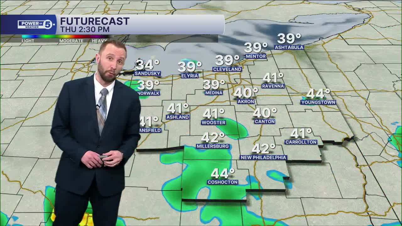


CLEVELAND — We're tracking scattered rain Thursday morning and midday, primarily on the west side, west of I-71. Most east siders stay dry. Highs will climb back into the 40s, but a couple areas in our southwestern communities could be around 50 Thursday afternoon. A few shower chances will be with us again on Friday, but we'll be much warmer as we welcome the season of Spring to wrap up the work week. Temperatures will jump into the lower 60s by Friday afternoon. Upper 50s and lower 60s will be with us on Saturday, under partly sunny skies
More ups and downs on the way to begin next week, as we head into the first full week of the new season.
Temperatures will bump up again on Sunday, with rain moving in for the afternoon along a cold front. Colder air looks to move in for the new work week, along with snow chances, as highs fall into the 30s on Monday.
DAILY FORECAST:
Thursday: Few rain showers. Closer to par. | High: 45º
Friday: Still mostly cloudy but warmer with a few showers. | High: 61º
Saturday: Mostly cloudy, pleasant. | High: 59º
Sunday: Few showers. Touch cooler. | High: 57º
Monday: Mostly cloudy. Isolated flakes. Colder. | High: 38º
Tuesday: More sunshine. Touch warmer again. | High: 42º
Wednesday: Mostly cloudy. Seasonable. | High: 50º
Want the latest Power of 5 weather team updates wherever you go? Download the News 5 App free now: Apple|Android
Click here to view our interactive radar.
Follow the News 5 Weather Team:
Trent Magill: Facebook & Twitter
Katie McGraw: Facebook & Twitter
Phil Sakal: Facebook & Twitter
Allan Nosoff: Facebook & Twitter
