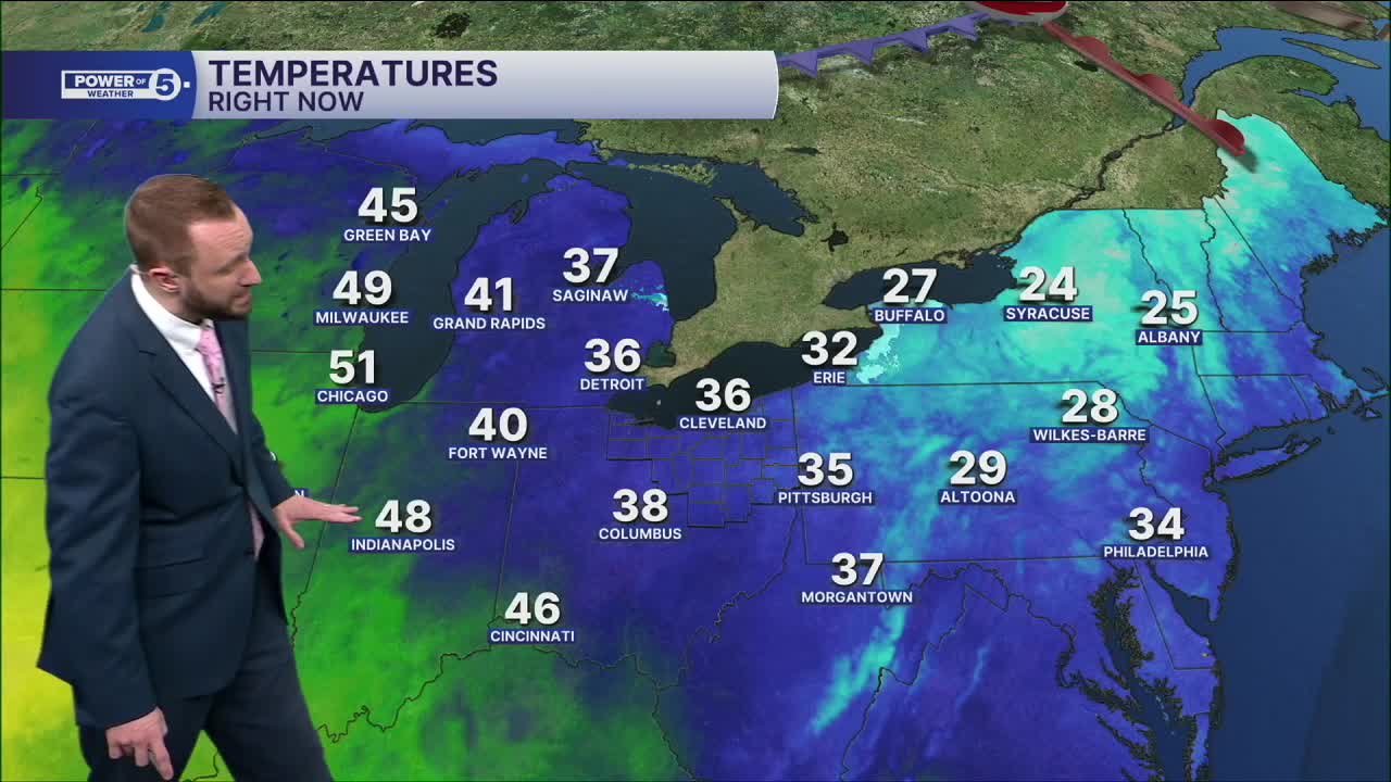


CLEVELAND — The snowpack continues to quickly melt, and by the end of this weekend, bare grass will be much more common! Plentiful sun and warming temperatures will both help that process.
Valentine's Day looks even warmer. Clouds are coming back late, but temps still manage to hit the middle 40s. Upper 40s to near-50 expected on Sunday and well into the 50s for Presidents Day Monday.
Temperatures will be well above average through most of the work week, with our next best shot at rain holding off until Wednesday.
With this warmth and the rain, the threat for ice jams is real. All of this moisture in our snowpack has to go somewhere. When the rivers get swollen and the ice breaks free, those jams can be a BIG concern.
DAILY FORECAST:
St. Valentine's Day: Dry & partly cloudy. | High: 46º
Sunday: Warmer. Rain chances south. | High: 50º
President's Day: Warmer. Partly Sunny. | High: 55º
Tuesday: Lake breeze could cool us down. | High: 50º
Wednesday: Rain chances return. Warm front lifts north. | High: 53º
Thursday: Rain possible. Chilly. | High: 47º
Want the latest Power of 5 weather team updates wherever you go? Download the News 5 App free now: Apple|Android
Click here to view our interactive radar.
Follow the News 5 Weather Team:
Trent Magill: Facebook & Twitter
Katie McGraw: Facebook & Twitter
Phil Sakal: Facebook & Twitter
Allan Nosoff: Facebook & Twitter
