


CLEVELAND — Tonight, Saturday, and Sunday all have a chance for rain, but it will not rain nonstop. Rain is expected for the rest of this evening and will continue into very early Saturday morning. This is especially true in our southeastern communities. Showers should exit for most before the sun comes up on Saturday. With more clouds and rain, it will not be as chilly overnight with lows in the upper 40s and low 50s.
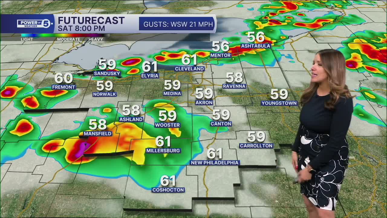
After showers exit our southeastern communities Saturday morning, it looks like we should have several hours of dry time for the rest of Saturday morning and early afternoon. Temperatures should warm into the upper 60s for much of NEO with breezy winds before another round of rain/storms moves through by the late afternoon and early evening on Saturday. We will be watching for any stronger storms during this timeframe. Damaging wind gusts, heavy rain, and small hail will be possible as these storms cross from north to south throughout Saturday evening.
Remember - when thunder roars, get indoors!
As a cold front swings through by Mother's Day, showers will remain possible on Sunday, especially early in the day, with a gradual drying trend. This front will also bring the return of chilly temperatures. Afternoon temps look to stay in the 50s for Mother's Day, which is running 15 to 20 degrees below typical for this time of year.
DAILY FORECAST:
Saturday: Warmer with strong afternoon/evening storms. | High: 70º
Sunday: Drying out but chilly again. | High: 55º
Monday: Mostly dry but cloudy & cool. | High: 54º
Want the latest Power of 5 weather team updates wherever you go? Download the News 5 App free now: Apple|Android
Click here to view our interactive radar.
Follow the News 5 Weather Team:
Trent Magill: Facebook & Twitter
Katie McGraw: Facebook & Twitter
Phil Sakal: Facebook & Twitter
Allan Nosoff: Facebook & Twitter
