


CLEVELAND — Hello, spring! Spring officially started on Friday morning, at 10:46 to be exact. It's the Spring Equinox. That means the planet isn't tilted toward or away from the sun, and also that we have more daylight than nighttime! We will keep gaining daylight until summer begins.
After a very spring-like day on Friday, it will be a little cooler on Saturday. Highs could get stuck in the 40s, especially closer to the lake. It will be warmer inland, and as a warm front approaches the area, temperatures will actually inch up Saturday night and continue to climb Sunday morning.
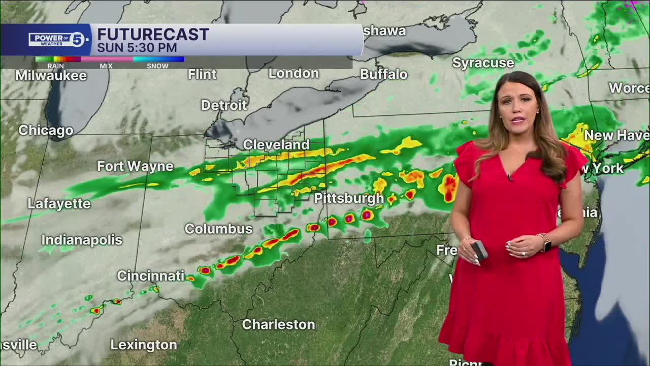
A new system will bring another windy, warm, and unsettled day with strong storms possible on Sunday, before ... (can you guess?) another temperature drop on Monday.
DAILY FORECAST:
Friday Night: Chilly and quiet. Patchy fog.| Low: 36º
Saturday: Mostly cloudy, cool. Warmer (50s) inland. | High: 52º
Sunday: Windy, warmer, more storms late. Could be strong. | High: 70º
Monday: Mostly cloudy. Isolated flakes. Colder. | High: 38º
Tuesday: More sunshine. Seasonable. | High: 46º
Wednesday: Mostly cloudy. | High: 44º
Want the latest Power of 5 weather team updates wherever you go? Download the News 5 App free now: Apple|Android
Click here to view our interactive radar.
Follow the News 5 Weather Team:
Trent Magill: Facebook & Twitter
Katie McGraw: Facebook & Twitter
Phil Sakal: Facebook & Twitter
Allan Nosoff: Facebook & Twitter
