


CLEVELAND — More clouds and seasonable cold to begin the weekend, with highs in the mid to upper 30s Saturday. We're looking dry across the region for most of Saturday, but snow chances will begin to arrive during the evening into Sunday.
More snow is likely on Sunday, with a clipper that transitions to lake effect snow on Monday. A few inches of snow are likely, with 3-6"+ possible in the primary snowbelt through Monday evening.
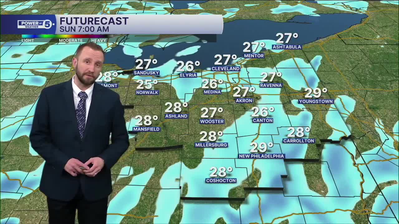
Temperatures will be colder to begin the work week, with highs in the upper 20s. Temperatures will be gradually warming through the week, as highs will be around 40° by Wednesday and into the mid 40s by the end of the week.
We will be watching Thursday, with the threat of precipitation moving in, and there could be a wintry mix possible or all rain. Something we'll be keeping a close eye on.
DAILY FORECAST:
Saturday: More clouds. Colder. | High: 37º
Sunday: Snow likely. Touch colder. | High: 32º
Monday: Lake effect snow showers. Colder. | High: 27º
Tuesday: Isolated snow showers. Cold. | High: 32º
Wednesday: Few snow showers. Seasonable. | High: 41º
Thursday: Watching Closely. Touch warmer. | High: 45º
Want the latest Power of 5 weather team updates wherever you go? Download the News 5 App free now: Apple|Android
Click here to view our interactive radar.
Follow the News 5 Weather Team:
Trent Magill: Facebook & Twitter
Katie McGraw: Facebook & Twitter
Phil Sakal: Facebook & Twitter
Allan Nosoff: Facebook & Twitter
