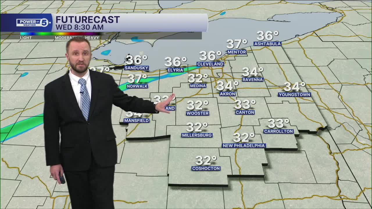


CLEVELAND — A weak front will move through early on Wednesday, and may squeak out a rain drop and or snowflake, but most of the region is looking dry.
Highs will top off around 40 degrees on Wednesday, and into the 50s will be possible on Thursday. There will be more rain on Thursday, mainly during the afternoon, with the warmer air surging in. Some of those showers could contain embedded downpours, like a spring-time storm. Thunder could be possible with a strong cold front at a pretty bad time: the Thursday evening commute.
As this will be a strong cold front, there is a high chance for a flash freeze into Thursday night as temperatures drop from 50 to the lower 20s in less than 12 hours.
DAILY FORECAST:
Wednesday: Mostly Dry. Breezy & Warmer. | High: 42º
Thursday: PM Rain showers. Warmer & Breezy. | High: 52º
Friday: Lake effect snow showers. Colder. Breezy. | High: 25º
Saturday: Rain showers possible. Warmer. | High: 40º
Sunday: Mostly cloudy. Chilly. | High: 37º
Want the latest Power of 5 weather team updates wherever you go? Download the News 5 App free now: Apple|Android
Click here to view our interactive radar.
Follow the News 5 Weather Team:
Trent Magill: Facebook & Twitter
Katie McGraw: Facebook & Twitter
Phil Sakal: Facebook & Twitter
Allan Nosoff: Facebook & Twitter
