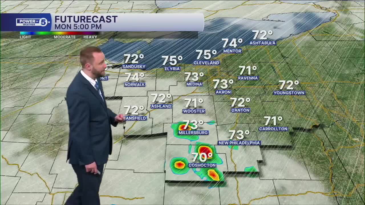


CLEVELAND — The warm surge continues through the early half of the workweek, but more rain is likely on multiple days during that span, particularly Tuesday into early Wednesday. Rain could be heavy and contain storms, especially Monday night. The Storm Prediction Center has a tier 1 out of 5 risk on the west side for Monday for isolated strong winds.
More substantial rain chances arrive on Tuesday, especially during the afternoon into the evening, with heavy rain a possibility and gusty winds.
Another major cold shot is likely to follow from Wednesday through the start of Mother's Day weekend, as highs fall back into the lower 50s.
DAILY FORECAST:
Monday: Partly cloudy. Breezy & Even warmer. PM storms possible. | High: 75º
Tuesday: Rain likely, could be heavy. Storms possible. | High: 70º
Wednesday: Mainly morning rain. Cooler. | High: 51º
Thursday: Mostly cloudy. Showers likely. Colder. | High: 45º
Friday: Mostly cloudy. Few showers possible. Not as chilly. | High: 51º
Saturday: Mostly cloudy. Showers possible. Warmer. | High: 55º
Want the latest Power of 5 weather team updates wherever you go? Download the News 5 App free now: Apple|Android
Click here to view our interactive radar.
Follow the News 5 Weather Team:
Trent Magill: Facebook & Twitter
Katie McGraw: Facebook & Twitter
Phil Sakal: Facebook & Twitter
Allan Nosoff: Facebook & Twitter
