


CLEVELAND — It will be a tropical feel with well-above-average temperatures, high humidity, and daily storm chances this week. Highs will be well into the 80s all week long, with humidity increasing every day through Thursday. Highs in the 90s will be possible, but factoring in the higher humidity, it will feel even hotter over the next several days.
The heat and humidity will also fuel scattered thunderstorms on and off. Overnight, it will be warm with a few passing showers into Tuesday morning. Some pockets of heavier rain will be possible.
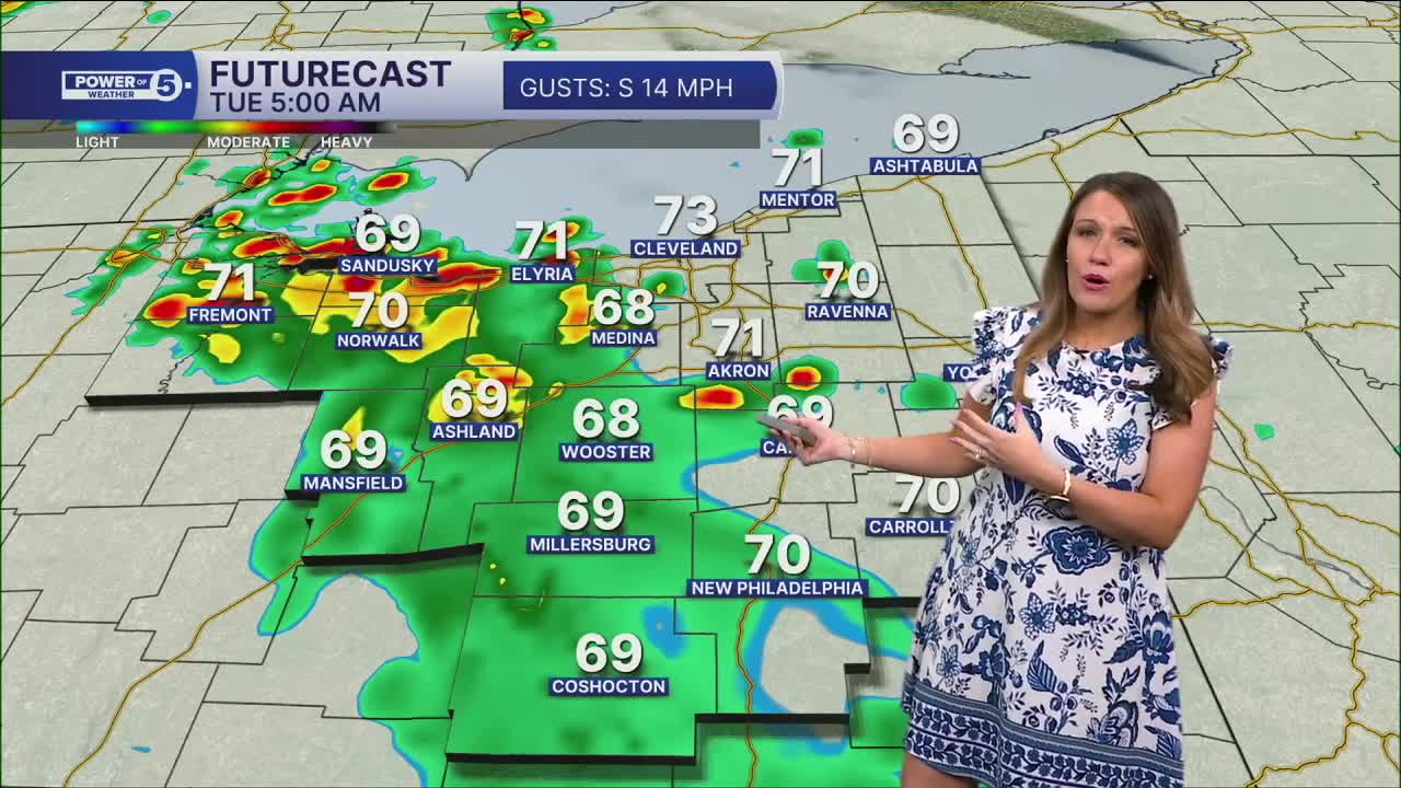
Additional scattered showers and storms are expected during the afternoon and evening on Tuesday, with temperatures in the mid to upper 80s and climbing humidity.
While widespread severe weather is not expected, the biggest threat with any storms that pass your area is flooding, as there is a lot of moisture, and these storms will dump a quick inch or two in a short time. If your neighborhood is hit with multiple rounds of these gullywashers, flooding will be more likely. A few more t-showers are possible on Wednesday, but the coverage and intensity of the rain will be lower.
It will remain hot & humid for the majority of the work. A cold front will move through late Thursday into early Friday, and that will cool things down to wrap up the work week into next weekend. A line of storms will also join the front late Thursday into Friday.
DAILY FORECAST:
Monday Night: Spotty storms with heavy rain. Warm & humid.| Low: 72º
Tuesday: Waves of rain elevating our flood threat.| High: 84º
Wednesday: A few t-storms. Still humid & warm.| High: 86º
Thursday: More heat, more humidity, more storms.| High: 87º
Friday: Few storms. Not as hot.| High: 79º
Saturday: Partly sunny. Drier.| High: 82º
Sunday: More seasonable.| High: 77º
Want the latest Power of 5 weather team updates wherever you go? Download the News 5 App free now: Apple|Android
Click here to view our interactive radar.
Follow the News 5 Weather Team:
Trent Magill: Facebook & Twitter
Katie McGraw: Facebook & Twitter
Phil Sakal: Facebook & Twitter
Allan Nosoff: Facebook & Twitter
