


CLEVELAND — It has been a moody and gloomy day with tons of clouds, light pesky showers, and cool temperatures. Winds have also been increasing throughout the day. It will be breezy Wednesday night and into Thursday. With the stronger winds, the conditions on the lake will become dangerous again, but thankfully, this is not beach weather!
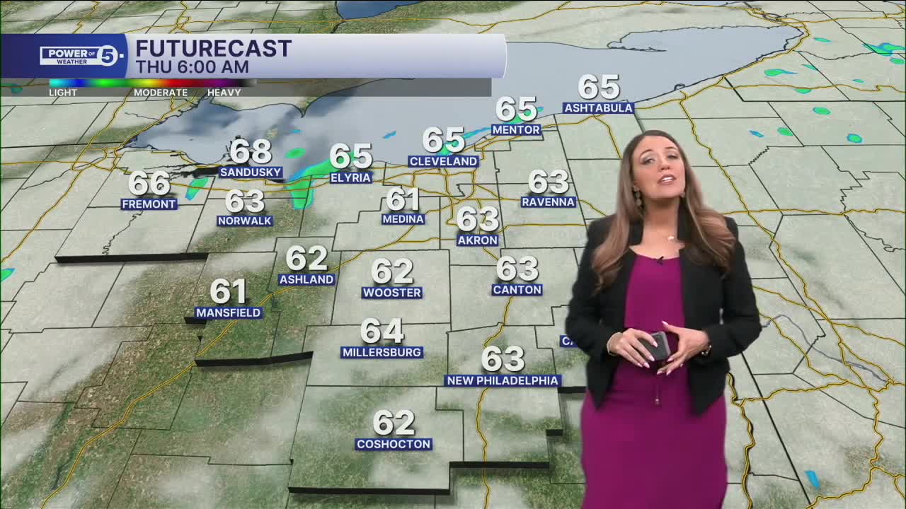
Temperatures have been very steady and are not expected to drop very much overnight. Morning temps will be in the mid-60s across the region with mostly cloudy skies and breezy winds out of the northeast. A few stray showers are possible tonight as well.
We will try VERY hard to dry out on Thursday, but a few lingering light showers are still expected. This is especially true during the first half of the day and in our northern communities. We look to slowly dry out and clear out throughout the day. Temperatures will continue to struggle on Thursday... Highs in the low to mid 70s again. We will get a temp bump on Friday, though! Plus, it will be much brighter and drier with highs in the 80s.
Another front aims at our region this weekend. It does not look like a washout. Much of Saturday will be dry until Saturday evening. Plan for a few t-showers at that time that will continue into Sunday as the front moves through NEO. This front will also usher in MUCH cooler air. We will get a taste of FALL by early next week. Highs could be stuck in the 60s on Monday and Tuesday!
DAILY FORECAST:
Wednesday Night: Mostly cloudy. Stray showers. Steady temps. | Low: 65º
Thursday: Slowly drying up. Gradually clearing. Cool for August.| High: 74º
Friday: Mostly sunny and warmer. | High: 80º
Saturday: Touch warmer. Plenty of dry time. Evening t-showers.| High: 83º
Sunday: A few t-showers.| High: 77º
Monday: A taste of fall. Lake effect rain showers are possible.| High: 69º
Want the latest Power of 5 weather team updates wherever you go? Download the News 5 App free now: Apple|Android
Click here to view our interactive radar.
Follow the News 5 Weather Team:
Trent Magill: Facebook & Twitter
Katie McGraw: Facebook & Twitter
Phil Sakal: Facebook & Twitter
Allan Nosoff: Facebook & Twitter
