


CLEVELAND — 'Tis the season for temperature swings! On Thursday, the high temperature was only 67 degrees in Cleveland. We woke up on Friday morning with temps in the 40s and low 50s, and rebounded to 78 degrees Friday afternoon. However, another cold front arrives tonight and will bring the return of cooler air. Highs over the weekend will only be in the 60s once again! That is about ten degrees below what is typical for early September.
This front will also bring another round of showers overnight and into Saturday. Plan for a few light showers Saturday morning. Showers will be fading by the afternoon for the majority of the area. A stray PM shower is possible in our southernmost communities. It will not be as gusty this weekend, but gusts out of the west up to 20 mph will be possible.
Grab the jacket or an extra layer on Saturday night. Lows will be in the 40s and low 50s. This also means if you are planning to get up early for tailgating for the Browns Game, it will be a chilly start to game day! There is also a possibility of lake effect rain showers on Sunday, especially in the morning and in our northern communities. The current trend has us drying up around kickoff Sunday afternoon.
The new work week will start below average as well, with highs only in the 60s on Monday, but the rest of the week looks much warmer and drier!
DAILY FORECAST:
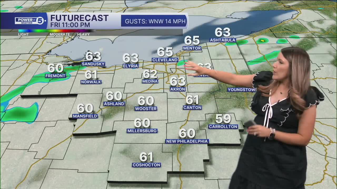
Tonight: Light showers. Cloudy and cool. | Low: 55º
Saturday: Cooler again. A few showers, especially early. | High: 69º
Sunday: Cool & breezy with a light lake effect shower possible. | High: 67º
Monday: Still cool but brighter. | High: 68º
Tuesday: Sunny and a bit warmer. | High: 76º
Want the latest Power of 5 weather team updates wherever you go? Download the News 5 App free now: Apple|Android
Click here to view our interactive radar.
Follow the News 5 Weather Team:
Trent Magill: Facebook & Twitter
Katie McGraw: Facebook & Twitter
Phil Sakal: Facebook & Twitter
Allan Nosoff: Facebook & Twitter
