



CLEVELAND —
What's Happening Now
Tuesday was a beaut! Tons of sun and warm.
Tonight stays quiet with mostly clear skies and comfortable sleeping weather as temps fall back into the low to mid 60s.
A couple of clouds will start to build in overnight with a few light showers early on Wednesday
What Happens Next
The extended forecast is looking toasty and active.
Wednesday brings back some humidity, even warmer temperatures, along with a few storms.
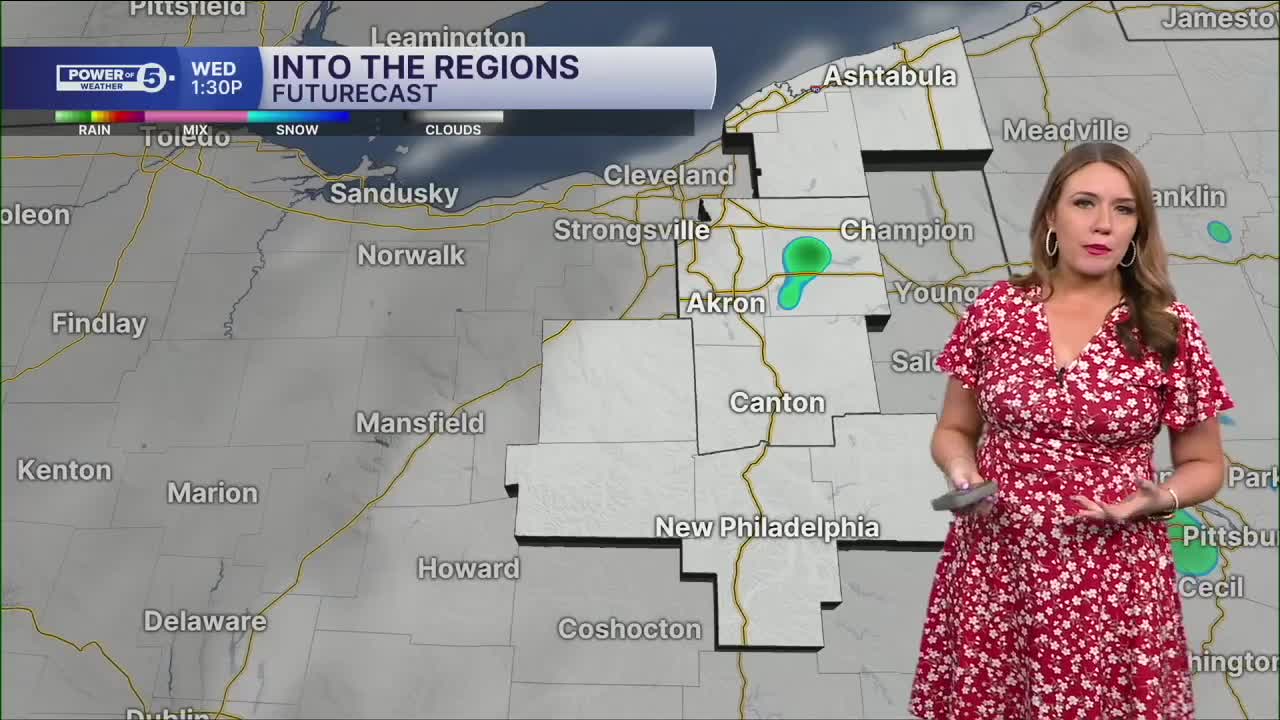
The best chance for rain will be across the South Region, Akron-Canton Region, and the Snowbelt, so essentially along and east of I-71. Heavy rain looks to be the biggest concern, though a few storms could produce frequent lightning.
Storm chances continue Thursday, but the focus shifts farther west, and all of NEO has a chance to see widely scattered storms.
Friday currently looks like the wettest day of the next seven, with more scattered rain with embedded thunderstorms likely.
While the severe weather is not looking likely this week, we will monitor any changes to that potential...as always! Plus, any storm can be dangerous when you factor in the lightning.
If you can hear thunder, you are close enough to be struck by lightning.
Power of 5 Region Spotlight
Wednesday Storm Focus
Not everyone sees rain tomorrow. The better chance for storms sets up across three regions:
South, Akron-Canton, & Snowbelt Regions
- A couple of light morning showers are possible
- Best chance for afternoon and evening storms
- Heavy rain possible; localized flooding
- A few rumbles of thunder possible
The Rest of Northeast Ohio
Cleveland Metro & West Region: Mostly dry Wednesday with only an isolated storm chance. The chance for storms returns for all of NEO on Thursday and Friday.
5-Day Forecast
Tuesday Night: Mostly clear, mild and calm. |Low: 83°
Wednesday: A few storms east. |High: 85°
Thursday: A few storms west. |High: 84°
Friday: Scattered rain with storms at times. |High: 82°
Saturday: Few showers/thunder. |High: 84°
Want the latest Power of 5 weather team updates wherever you go? Download the News 5 App free now: Apple|Android
Click here to view our interactive radar.
Follow the News 5 Weather Team:
Trent Magill: Facebook & Twitter
Katie McGraw: Facebook & Twitter
Phil Sakal: Facebook & Twitter
Allan Nosoff: Facebook & Twitter
