

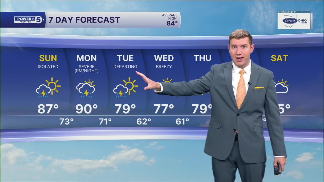


CLEVELAND — Temperatures will be in the upper 80s and a few 90s on Monday. That extra heat and humidity, with the next storm "complex" making its closest approach, will increase the storm chances. Rounds of showers and storms are expected.
Models are having a difficult time nailing down exact timing on storms. As of this writing, storm chances will move in during the morning rush, which will include heavy rain and gusty winds.
The second round is more difficult to nail down, with some models suggesting early afternoon, while others suggest late evening. It will be something to be monitored closely.
Severe storms will mainly produce damaging winds, but we cannot rule out large hail and even isolated tornadoes.
Heavy rain chances could linger into Tuesday, mainly during the first half of the day.
We then cool and calm down for the middle and end of the week, with highs falling back into the 70s for Wednesday and Thursday. No A/Cs needed for another few days then.
DAILY FORECAST:
Monday: Scattered storms. Could be strong or severe. Hot and humid. | High: 89º
Tuesday: Morning rain/storm. Cooler, but still humid. | High: 77º
Wednesday: Drier and breezy. Below average. | High: 75º
Thursday: Partly cloudy. Touch warmer. | High: 80º
Friday: Partly cloudy. Seasonable. | High: 83º
Saturday: More clouds. Shower possible. | High: 85º
Want the latest Power of 5 weather team updates wherever you go? Download the News 5 App free now: Apple|Android
Click here to view our interactive radar.
Follow the News 5 Weather Team:
Trent Magill: Facebook & Twitter
Katie McGraw: Facebook & Twitter
Phil Sakal: Facebook & Twitter
Allan Nosoff: Facebook & Twitter
