



CLEVELAND —
Near-record warmth vanishes tonight
We reached 76° Thursday afternoon, just a couple degrees away from the record high of 78 set back just two years ago!
Hopefully, you enjoyed the warmth because we are getting cooler starting tonight!
Friday Feels Completely Different
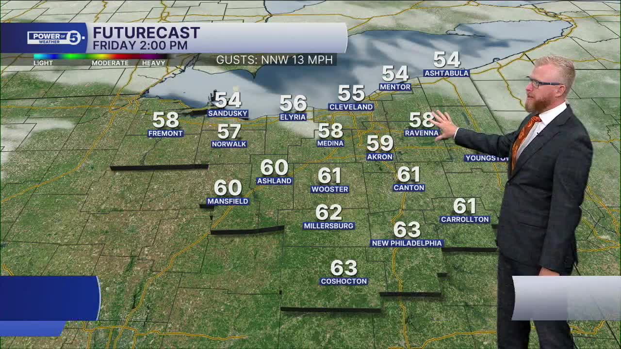
You’ll notice the change as soon as you step outside Friday morning. A chilly breeze and temps in the 40s or low 50s, not 60s.
After reaching the mid-to-upper 70s today, we’re only talking upper 50s Friday afternoon, and some lower 60s inland. Add in a breeze and it’ll feel considerably cooler and a massive change from the day before.
Halloween Weekend Trending Drier
The weekend forecast keeps getting better, especially if you have Halloween plans.
Temps rebound into the 60s, so Friday’s chill doesn’t stick around long. For trick-or-treating, expect readings mainly in the 50s.
Even better, we’re trending drier for the entire weekend with warming temperatures.
Our next decent shot at rain may not arrive until the middle or end of next week.
REGIONS HIGHLIGHT: SNOWBELT...First signs of drought showing up
While the dry weather has been awesome, we need a balance of dry weather and rain! It has been very dry for several days and "abnormally dry" conditions are starting to show up across NEO, especially in the Snowbelt region, CLE Metro region and South Region, but as mentioned above, rainfall chances are minimal until maybe late next week.
REMINDER: Time Change this weekend
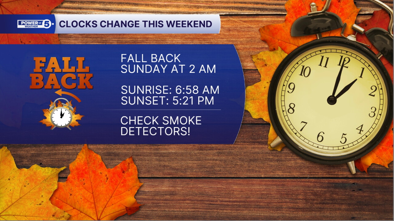
We meddle with time again at 2 am Sunday, clocks will go back one hour. This will bring the sun up earlier, but also it will set earlier too. On Sunday, the sun will rise at 6:58 am and set at 5:21 pm!
5-Day Forecast:
Friday: Partly sunny but looking dry. | High: 58º
Halloween: Partly sunny, mild, showers possible. | High: 62º
Sunday: Rain possible. Still warm. | High: 69º
Monday: Isolated showers possible. Mostly cloudy. | High: 67º
Tuesday: Mostly cloudy, mild with isolated rain. | High: 70º
Learn the lingo: The Power of 5 Weather Team wants to get you your forecast closer to home. We have broken NEO into 5 separate and distinct regions. Find your region to get your hyper-local forecast!
- Cleveland Metro Region: Cuyahoga County. This region includes cities such as Cleveland, Parma, Westlake, Berea, Strongsville, Independence, Solon, Beachwood, and Euclid.
- Snowbelt Region: Lake, Geauga, and Ashtabula Counties. This includes cities such as Mentor, Geneva, Ashtabula, Bainbridge, Chardon, Burton, and Orwell.
- Akron-Canton Region: Summit, Stark, and Portage Counties. This region includes cities such as Akron, Canton, Hudson, Ravenna, Mantua, Alliance, and Canal Fulton.
- West Region: Lorain, Medina, Erie, Huron, Richland, and Ashland Counties. This region includes cities such as Lorain, Wellington, Medina, Lodi, Ashland, Mansfield, Willard, and Sandusky.
- South Region: Wayne, Holmes, Tuscarawas, Carroll Counties. This region includes Wooster, Millersburg, New Philadelphia, Strasburg, Mineral City, Carrollton, and Newcomerstown
You can send us photos and short videos by filling out the form below:
Want the latest Power of 5 weather team updates wherever you go? Download the News 5 App free now: Apple|Android
Click here to view our interactive radar.
Follow the News 5 Weather Team:
Trent Magill: Facebook & Twitter
Katie McGraw: Facebook & Twitter
Phil Sakal: Facebook & Twitter
Allan Nosoff: Facebook & Twitter
