



CLEVELAND — Whew.... time to take a refreshing breath of fresh air.
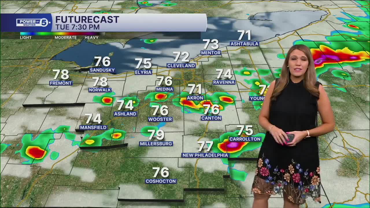
Tuesday was very active during the morning, afternoon, and night! Multiple rounds of storms, packing heavy rain, lightning, and even tornadoes across NEO! Thankfully, the severe threat is over for tonight, but a few more showers will be possible for a few more hours as the cold front clears out the region. Winds are changing direction to the northwest overnight and into Wednesday.
The weather also takes a sharp turn tomorrow. Only a few isolated light showers are expected, and highs will struggle to reach 70 degrees with a blustery northwest wind. That's unusually cool air for late July, but a welcome break after today's stormy weather. It will feel more like early October outside!
Showers will gradually come to an end on Wednesday with more sunshine. Temperatures will also gradually increase through the rest of the workweek. By this weekend, temperatures will return to the 80s.
DAILY FORECAST:
Wednesday: Drying out and much cooler! | High: 70º
Thursday: More sunshine. Well below average. | High: 73º
Friday: Mostly sunny. Pleasant. | High: 79º
Saturday: Partly cloudy with a slim chance of rain. | High: 84º
Want the latest Power of 5 weather team updates wherever you go? Download the News 5 App free now: Apple|Android
Click here to view our interactive radar.
Follow the News 5 Weather Team:
Trent Magill: Facebook & Twitter
Katie McGraw: Facebook & Twitter
Phil Sakal: Facebook & Twitter
Allan Nosoff: Facebook & Twitter
