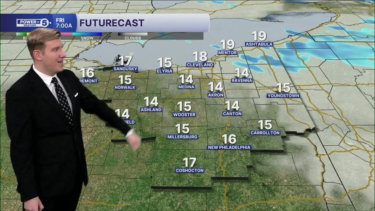


CLEVELAND — FRIGID! It's an incredibly cold start to 2026 with highs that were stuck in the teens all day. Another round (clipper) has brought some more light snow this evening with a widespread coating. A few spots will continue to see snow overnight, and a few inches are possible in the primary snowbelt by midday Fridat.
The primary snow belt will see more lake effect bands set up during the afternoon into the evening and will begin to taper off on Friday afternoon. Some areas could see another 3 or 4 inches where squalls persist. Otherwise, partly to mostly cloudy and staying very cold in the 20s.
Another clipper could clip us with another coating to an inch Saturday night.
DAILY FORECAST:
Friday: Lake effect (east). Cold. | High: 25º
Saturday: More clouds and cold. Snow showers at night. | High: 26º
Sunday: Mostly cloudy. Cold. | High: 27º
Monday: A few light AM now showers. | High: 33º
Tuesday: Cloudy but milder with a slim rain chance. | High: 40º
Wednesday: Showers possible. Even warmer. | High: 44º
Want the latest Power of 5 weather team updates wherever you go? Download the News 5 App free now: Apple|Android
Click here to view our interactive radar.
Follow the News 5 Weather Team:
Trent Magill: Facebook & Twitter
Katie McGraw: Facebook & Twitter
Phil Sakal: Facebook & Twitter
Allan Nosoff: Facebook & Twitter
