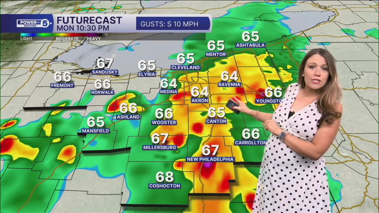


CLEVELAND — It was an active start to the week on Monday after a few rounds of heavy rain and storms, including some strong and one severe thunderstorm warning. Thankfully, the worst of the storms are moving east tonight and will gradually fade overnight.
It will remain cloudy overnight with steady and mild temperatures in the 60s for much of NEO. Areas of fog are expected to develop for a few communities overnight and into Tuesday morning, which could make the morning drive a bit slower than normal.
There is still a chance for a few more showers and embedded t-storms on Tuesday, but the intensity and coverage of storms will be much lower. That basically means you will have a lot more dry time compared to Monday. It will be seasonable as well, with temperatures in the mid and upper 70s.
The potential for rain increases again throughout the day on Wednesday, and heavy rain will once again be possible. The threat of excessive rainfall may lead to flooding concerns on Wednesday. While we need rainfall in the midst of this drought, we also do not want too much rain too fast.
Rain chances will begin to lessen, but not completely diminish until the weekend. So keep the umbrellas handy, NEO!
Temperatures will be closer to average, with highs in the low and mid 70s for most of the week into next weekend.
DAILY FORECAST:
Monday night: Rain fades overnight. Steady temps. | Low: 63º
Tuesday: A few hit or miss t-showers.| High: 75º
Wednesday: Scattered t-showers.| High: 72º
Thursday: A few t-showers, cooler.| High: 73º
Friday: Isolated t-showers.| High: 73º
Saturday: Looking much drier and seasonable.| High: 76º
Sunday: Sun is making a return! | High: 75º
Want the latest Power of 5 weather team updates wherever you go? Download the News 5 App free now: Apple|Android
Click here to view our interactive radar.
Follow the News 5 Weather Team:
Trent Magill: Facebook & Twitter
Katie McGraw: Facebook & Twitter
Phil Sakal: Facebook & Twitter
Allan Nosoff: Facebook & Twitter
