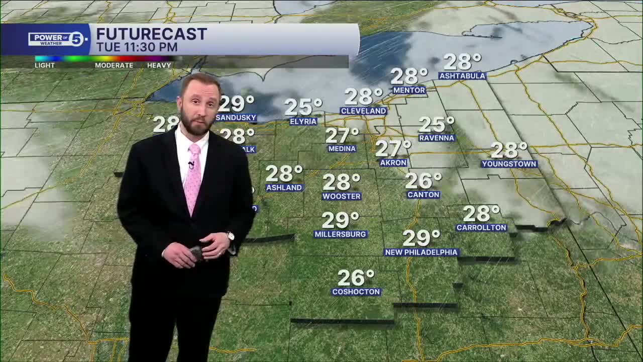


CLEVELAND — Temperatures will be into the 20s by sunrise Tuesday. That cold air pushing over a warming Lake Erie means lake effect snow. Plan on brief bursts of snow in isolated areas with little accumulation expected, mainly on elevated areas. Lake effect snow will begin to taper off by midday.
Temperatures will be well below average Tuesday afternoon, with many areas in the mid to upper 30s. Skies will begin to clear out during the mid to late afternoon Tuesday, and this will allow temperatures to be even colder to begin your mid-week...
Wednesday will see a very cold start, with many areas in the mid-20s, but we'll rebound into the mid to upper 50s by day's end, under mostly sunny skies.
Temperatures will bump up even more by week's end, as highs will be well into the 60s to near 70 on Thursday and Friday. Rain chances will increase by Friday.
DAILY FORECAST:
Tuesday: Morning snow followed by cold sunshine.| High: 35°
Wednesday: Mostly sunny and seasonable.| High: 57°
Thursday: Warming nicely but more clouds.| High: 68º
Friday: Warm & breezy with a few storms.| High: 69°
Saturday: Cooler with rain possible.| High: 55°
Sunday: Rain possible. Warmer again.| High: 70°
Want the latest Power of 5 weather team updates wherever you go? Download the News 5 App free now: Apple|Android
Click here to view our interactive radar.
Follow the News 5 Weather Team:
Trent Magill: Facebook & Twitter
Katie McGraw: Facebook & Twitter
Phil Sakal: Facebook & Twitter
Allan Nosoff: Facebook & Twitter
