


CLEVELAND — Tuesday should be a bit warmer, but the big "thaw" comes on Wednesday. Tuesday will be in the low to mid 30s during the afternoon, along with a midday snow and accumulations under an inch anticipated.
Most of us will be around 40 degrees for the first time this month on Wednesday. Might be the last time for a while, too. After Wednesday's scattered rain/snow showers, we drop again. Another blast wraps up the work week with more snow coming in tow.
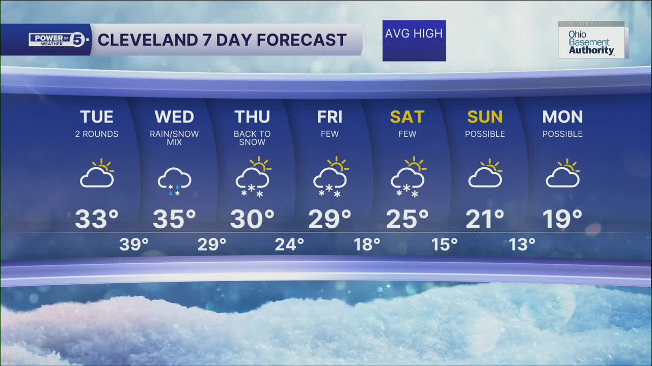
DAILY FORECAST:
Tuesday: Few snow showers. Still cold. | High: 34º
Wednesday: Scattered rain/snow mix. | High: 40º
Thursday: Cold with a few lake effect snow showers. | High: 30º
Friday: Cold with a few snow showers. | High: 29º
Saturday: Cold with lake effect snow showers possible. | High: 25º
Want the latest Power of 5 weather team updates wherever you go? Download the News 5 App free now: Apple|Android
Click here to view our interactive radar.
Follow the News 5 Weather Team:
Trent Magill: Facebook & Twitter
Katie McGraw: Facebook & Twitter
Phil Sakal: Facebook & Twitter
Allan Nosoff: Facebook & Twitter
