



CLEVELAND —
Colder but brighter through Saturday
Saturday morning has not looked very inviting. Chilly temps in the 40s with cloudy conditions across the board, *plus* some lingering lake-effect rain showers across parts of our West region.
The last of the lake effect fizzles by late morning, and it will be dry the rest of the day. The sun also will be returning Saturday afternoon. Highs will struggle to reach around 50° despite the sun, so it'll still be jacket weather even with the sun.
If you're heading to Saturday's Guardians game, the weather is much better than Friday night's setup in terms of no rain, but you'll still want the layers. Beanies and mittens!
Power of 5 Regions highlight: West region
Hello lake effect! It can happen in October, and it doesn't have to be snow.
Browns Sunday: Freezing cold start, nice finish
Sunday morning will be our coldest start of the season so far. Frost is expected near the lakeshore, with a Frost Advisory for Lake and coastal Ashtabula. Widespread freeze is expected everywhere else away from the lake.
If you've still got flowers, herbs or other sensitive plants going, Saturday evening is the time to cover them or bring the pots inside.
For the 1 p.m. Browns game, you'll want the jacket for the walk into the stadium, but at least we'll have plenty of sunshine. Sunglasses will be much more useful than the rain gear by Sunday.
A fantastic work week ahead
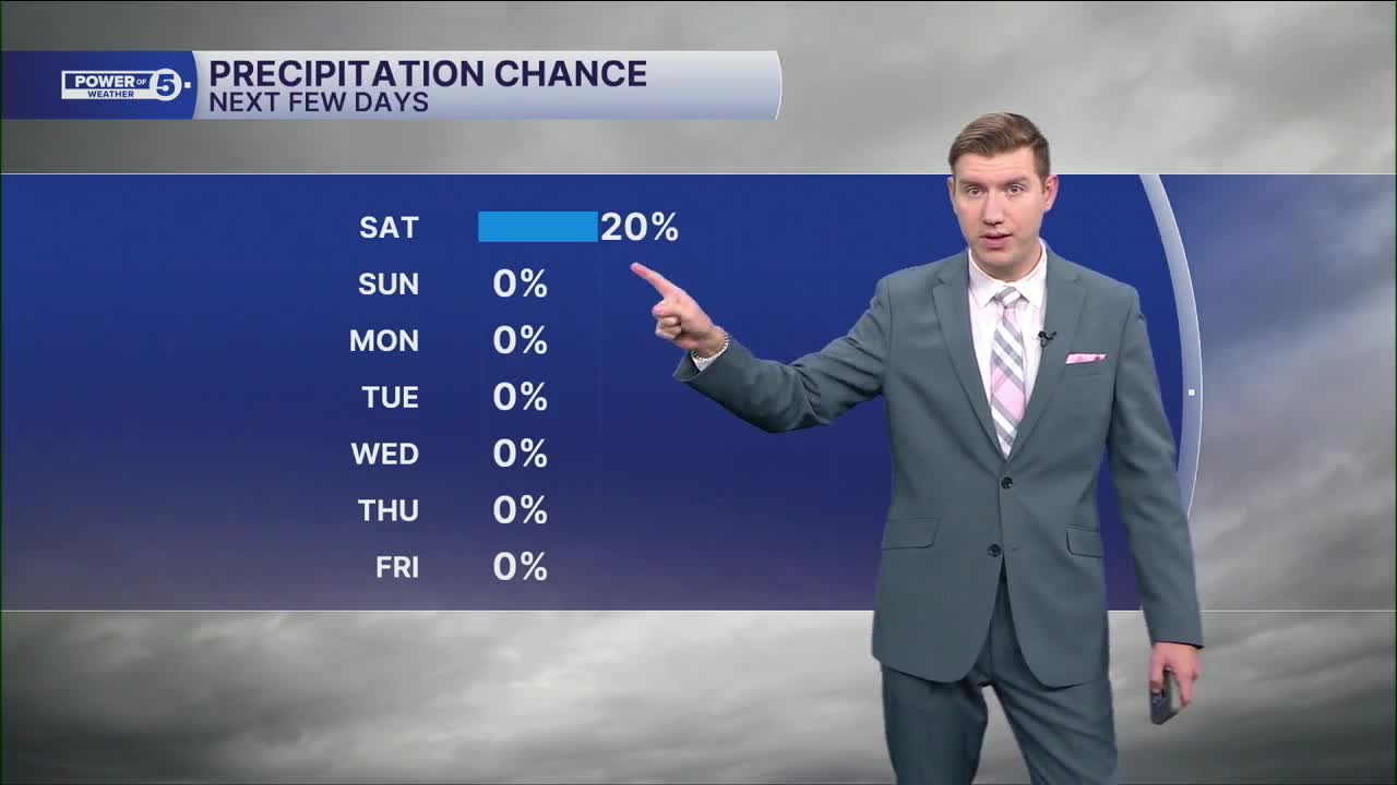
After all the ups and downs this weekend, next week looks refreshingly boring, weather-wise.
We're expecting sunshine, light winds and seasonable temps through the work week. After Friday's rain, wind and falling temps, we'll take it!
5-Day Forecast:
Saturday: Lake effect showers. Cooler and breezy. | High: 50º
Sunday: AM Widespread frost. Mostly sunny and cool. | High: 60º
Monday: Mostly sunny and seasonable. | High: 65º
Tuesday: Incredible, bright & seasonable. | High: 67º
Wednesday: Incredible, bright & seasonable. | High: 68º
Learn the lingo: The Power of 5 Weather Team wants to get you your forecast closer to home. We have broken NEO into 5 separate and distinct regions. Find your region to get your hyper-local forecast!
- Cleveland Metro Region: Cuyahoga County. This region includes cities such as Cleveland, Parma, Westlake, Berea, Strongsville, Independence, Solon, Beachwood, and Euclid.
- Snowbelt Region: Lake, Geauga, and Ashtabula Counties. This includes cities such as Mentor, Geneva, Ashtabula, Bainbridge, Chardon, Burton, and Orwell.
- Akron-Canton Region: Summit, Stark, and Portage Counties. This region includes cities such as Akron, Canton, Hudson, Ravenna, Mantua, Alliance, and Canal Fulton.
- West Region: Lorain, Medina, Erie, Huron, Richland, and Ashland Counties. This region includes cities such as Lorain, Wellington, Medina, Lodi, Ashland, Mansfield, Willard, and Sandusky.
- South Region: Wayne, Holmes, Tuscarawas, Carroll Counties. This region includes Wooster, Millersburg, New Philadelphia, Strasburg, Mineral City, Carrollton, and Newcomerstown
You can send us photos and short videos by filling out the form below:
Want the latest Power of 5 weather team updates wherever you go? Download the News 5 App free now: Apple|Android
Click here to view our interactive radar.
Follow the News 5 Weather Team:
Trent Magill: Facebook & Twitter
Katie McGraw: Facebook & Twitter
Phil Sakal: Facebook & Twitter
Allan Nosoff: Facebook & Twitter
