

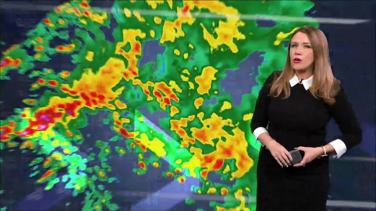


CLEVELAND — Northeast Ohio is getting its first true taste of winter this weekend... and the biggest story isn't a massive snowstorm, it's the cold and wind. Bundle up before you step out the door, because brisk winds are going to keep wind chills stuck in the 30s all weekend long. Brrr!
Today: Messy mix gives way to plain rain
While the most active weather Friday was across the West Region, the action has shifted into more traditional lake effect areas overnight. Winds have shifted from out of the north to out of the northwest, pushing lake effect bands into the Primary and Secondary snowbelt. Some minor slushy accumulations were reported from Medina to Portage counties overnight, but the snow is switching to rain for the daytime.
Temps near freezing in spots like Ravenna and Canton earlier this morning supported accumulating snow, but temps will rise to either side of 40 degrees this afternoon, just
Rest of weekend: how long does the lake effect last?
Saturday: We can basically split our viewing area down the middle for Saturday. From Cleveland to New Philly and points east, plan for a soggy Saturday with snow showers in the morning, to a wintry mix to cold rain during the afternoon. To the west, it will be much drier. Everyone will be chilly with breezy winds making it feel even colder.
Browns Sunday: Heading down to the lakefront for the game? The bad news? It will still be cold and breezy, so layer up if you're tailgating or sitting in the stands. The not-so-bad news? It won't be soaking rain for tailgating, with some lake effect downpours nearby, and ending during the afternoon. The 4th quarter will be drier than pregame.
Meanwhile, lingering lake-effect showers will shift east into the primary Snowbelt Region tonight, then back into the Akron/Canton and Cleveland metro regions tomorrow morning. You can see a highlight about the timeline for the snowbelt region below.
5-Day Forecast:
Saturday: Lake effect rain/snow showers. Chilly. | High: 43º
Sunday: Isolated lake effect rain/snow showers. Chilly. | High: 46º
Monday: More sun but still cool. | High: 50º
Tuesday: Sunny & Milder. | High: 52º
Wednesday: Sunny & above average. | High: 55º
Quick Early-Winter Reminders
Since this is our first real cold snap of the season, take five minutes today to get ahead of winter:
- Check your tire pressure: Sudden temperature drops cause tire pressure to dip, which often triggers that pesky dashboard warning light on cold mornings.
- Toss a brush in the trunk: Even though roads will stay wet rather than icy today, overnight lows in the 30s can leave a thin layer of frost on your windshield.
- Dress for the wind, not the thermometer: A 40-degree day feels drastically different when a brisk northwest breeze is blowing off Lake Erie. Wind-resistant layers are your best friend this weekend.
Learn the lingo: The Power of 5 Weather Team wants to get you your forecast closer to home. We have broken NEO into 5 separate and distinct regions. Find your region to get your hyper-local forecast!
- Cleveland Metro Region: Cuyahoga County. This region includes cities such as Cleveland, Parma, Westlake, Berea, Strongsville, Independence, Solon, Beachwood, and Euclid.
- Snowbelt Region: Lake, Geauga, and Ashtabula Counties. This includes cities such as Mentor, Geneva, Ashtabula, Bainbridge, Chardon, Burton, and Orwell.
- Akron-Canton Region: Summit, Stark, and Portage Counties. This region includes cities such as Akron, Canton, Hudson, Ravenna, Mantua, Alliance, and Canal Fulton.
- West Region: Lorain, Medina, Erie, Huron, Richland, and Ashland Counties. This region includes cities such as Lorain, Wellington, Medina, Lodi, Ashland, Mansfield, Willard, and Sandusky.
- South Region: Wayne, Holmes, Tuscarawas, Carroll Counties. This region includes Wooster, Millersburg, New Philadelphia, Strasburg, Mineral City, Carrollton, and Newcomerstown
You can send us photos and short videos by filling out the form below:
Want the latest Power of 5 weather team updates wherever you go? Download the News 5 App free now: Apple|Android
Click here to view our interactive radar.
Follow the News 5 Weather Team:
Trent Magill: Facebook & Twitter
Katie McGraw: Facebook & Twitter
Phil Sakal: Facebook & Twitter
Allan Nosoff: Facebook & Twitter
