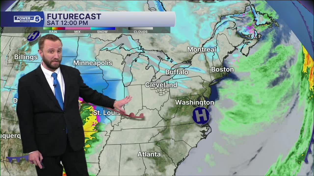


CLEVELAND — Lake effect snow will gradually taper off Friday night, but snow returns Saturday afternoon west and evening east. A storm from the west will produce over a foot of snow across parts of the Midwest, but our area will be on the warm side of the storm. Initially, Saturday night, Northeast Ohio will likely see one to three inches of snow, before changing to a mix then rain Sunday morning.
It should dry up by kickoff for the Browns as they face the 49ers, but there could be some scattered lake effect snow showers returning by dusk. And then more snow next week! Monday night into Tuesday could bring a few more inches of snow.
DAILY FORECAST:
Saturday: Snow showers likely late. Cold. 1 to 3 inches of snow at night. | High: 34º
Sunday: Snow changes over to rain and tapers midday. Lake effect snow showers at night. | High: 38º
Monday: Cloudy & Cold. Isolated lake-effect snow. | High: 32º
Tuesday: More snow. Accumulations possible. | High: 34º
Wednesday: Mostly Cloudy & Cold. | High: 32º
Thursday: Cloudy & Cold. Isolated lake-effect snow. | High: 31º
Friday: Cloudy & Cold. Few snow showers. | High: 33º
Want the latest Power of 5 weather team updates wherever you go? Download the News 5 App free now: Apple|Android
Click here to view our interactive radar.
Follow the News 5 Weather Team:
Trent Magill: Facebook & Twitter
Katie McGraw: Facebook & Twitter
Phil Sakal: Facebook & Twitter
Allan Nosoff: Facebook & Twitter
