


CLEVELAND — The chill lingers on across NEO tonight with mostly clear skies, calmer winds, and chilly temperatures in the low 40s and upper 30s.
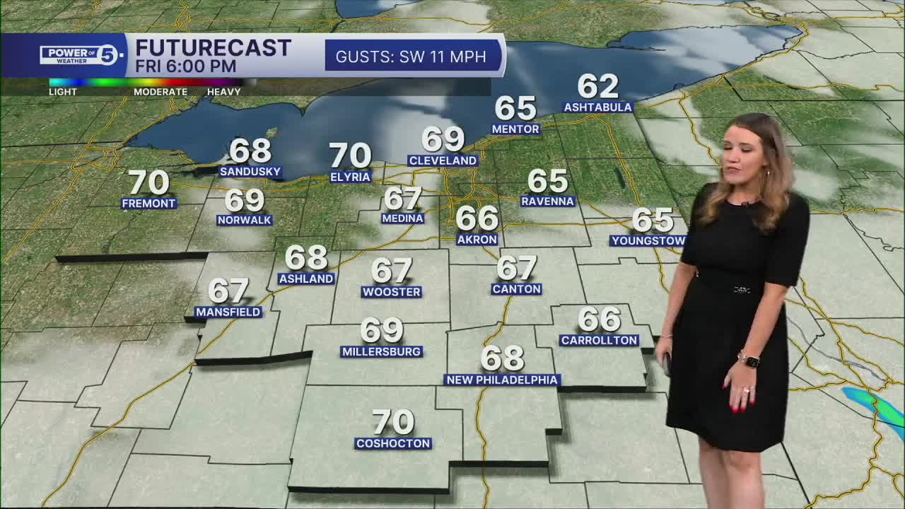
Grab the jackets on the way out the door tomorrow morning, but layers are a good idea tomorrow! Slowly but surely, temperatures will begin to rise. After a crisp Friday morning, temperatures will be closer to "norm" by the afternoon, with temperatures in the upper 60s and low 70s.
The temps continue to climb this weekend with highs in the mid to upper 70s! The warmth will likely make everyone want to get outside this weekend, but we will have to listen for thunder and dodge on and off showers and storms. The better chance for storms looks to be on Saturday with more dry time and lighter t-showers on Sunday.
Believe it or not, it should get EVEN warmer on Monday. Highs could be in the mid 80s and flirting with the 90s! Much of the day looks dry as well, but we will have to watch a decaying line of storms Monday evening in our western communities. A better chance for storms holds off until Tuesday. These storms will be ahead of a cold front and usher in the return of cooler temperatures.
DAILY FORECAST:
Thursday Night: Mostly clear & cool. | Low: 42º
Friday: Partly cloudy. Bit milder. Stray shower. | High: 69º
Saturday: Warm & breezy with scattered storms. | High: 77º
Sunday: A few t-showers possible, very warm. | High: 78º
Monday: Heat building with a slim shot at thunder. (NW) | High: 86º
Tuesday: Storms expected. Could be strong. | High: 81º
Want the latest Power of 5 weather team updates wherever you go? Download the News 5 App free now: Apple|Android
Click here to view our interactive radar.
Follow the News 5 Weather Team:
Trent Magill: Facebook & Twitter
Katie McGraw: Facebook & Twitter
Phil Sakal: Facebook & Twitter
Allan Nosoff: Facebook & Twitter
