



CLEVELAND — Feeling like Pumpkin Spice rather than Lemonade!?
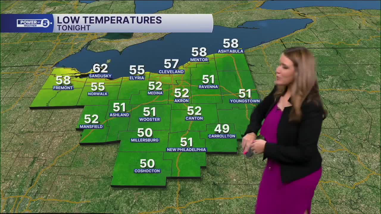
Temperatures struggled to reach 70 degrees on Wednesday. In Cleveland, the high was only 69 degrees, which is more typical of early October than the heart of summer! The chill lingers on tonight...it will be downright cool. Many spots drop into the 50s, with some in the lower 50s (we can't rule out isolated upper 40s)! The air conditioner can have a break.
Thursday brings more sunshine and a nice rebound into the middle 70s. Still below average, but an improvement. Temperatures will continue to gradually increase each day.
By Friday, temperatures climb closer to 80 degrees as summer starts working its way back. The weekend turns warmer with highs returning to the 80s, but rain chances come along with the heat. Saturday features isolated showers that look to favor our eastern communities but look to be light. A few more rounds of rain and storms are expected Sunday and look to cover more ground.
Looking ahead, thunderstorm chances are most likely between Monday and Tuesday as the next weather system moves into the Great Lakes. Temps and humidity will be back in full swing by then as well.
DAILY FORECAST:
Wednesday Night: A couple of clouds and chilly.| Low: 57º
Thursday: More sunshine. Comfortable. Well below average. | High: 75º
Friday: Mostly sunny. Pleasant. Bit warmer. | High: 79º
Saturday: Partly cloudy with a slim chance of rain. | High: 82º
Sunday: Few showers. Thunder possible. | High: 83º
Monday: Few storms. Warm and muggy. | High: 86º
Tuesday: Seasonable with a slim chance of rain. | High: 84º
Want the latest Power of 5 weather team updates wherever you go? Download the News 5 App free now: Apple|Android
Click here to view our interactive radar.
Follow the News 5 Weather Team:
Trent Magill: Facebook & Twitter
Katie McGraw: Facebook & Twitter
Phil Sakal: Facebook & Twitter
Allan Nosoff: Facebook & Twitter
