


CLEVELAND — We tied a record today in Cleveland with a high temperature of 88 degrees! However, the hot temperatures were brief. Plan on a MASSIVE temperature drop on Wednesday. We are talking 30-40 degrees colder!
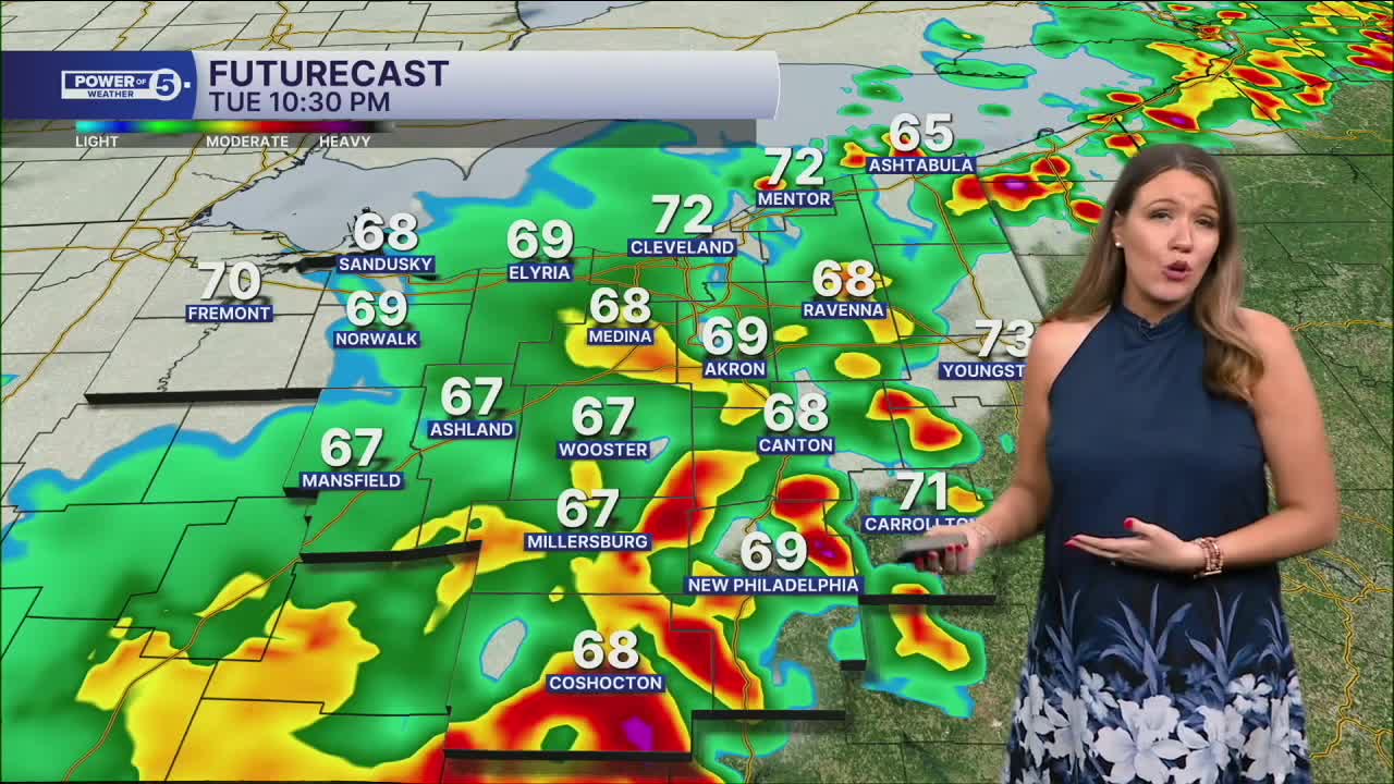
Strong storms and heavy rain rolled through Tuesday evening ahead of a cold front. Storms thankfully weakened as they moved across NEO, but showers will remain possible tonight, and rain will linger on Wednesday, especially in the first half of the day, with a gradual drying trend.
We'll be in the 60s at sunrise on Wednesday, then drop quickly to the low and mid 50s by the afternoon. Make sure you pack an extra layer, and you'll need it again on Thursday. It will be much drier on Thursday, but still in the 50s.
The holiday weekend looks active. It is too soon to talk about specifics, but for now, plan for rain to return from the south Friday afternoon or evening with waves of rain and storms throughout the weekend with seasonal temperatures. For any Memorial Day cookouts or memorial services, have a backup plan to get inside if Mother Nature tries to attend.
DAILY FORECAST:
Tuesday Night: Rainy and mild. | Low: 65º
Wednesday: Wettest early as temps fall. | High: 70º at midnight —> 60º by sunrise —> 50º by PM Drive
Thursday: Drying out and Cooler. | High: 58º
Friday: Cool and wet with t-storms returning. | High: 66º
Saturday: Seasonal temps but wet. | High: 71º
Sunday: Few showers | High: 70º
Want the latest Power of 5 weather team updates wherever you go? Download the News 5 App free now: Apple|Android
Click here to view our interactive radar.
Follow the News 5 Weather Team:
Trent Magill: Facebook & Twitter
Katie McGraw: Facebook & Twitter
Phil Sakal: Facebook & Twitter
Allan Nosoff: Facebook & Twitter
