


CLEVELAND — It was mainly dry on Tuesday, but that changes big time on Wednesday!
The potential for rain increases later tonight and into Wednesday. Clouds will be increasing over the next few hours and into the first few hours on Wednesday. Around sunrise, a few showers will be possible, but the rain looks to become more widespread throughout the morning into the early afternoon.
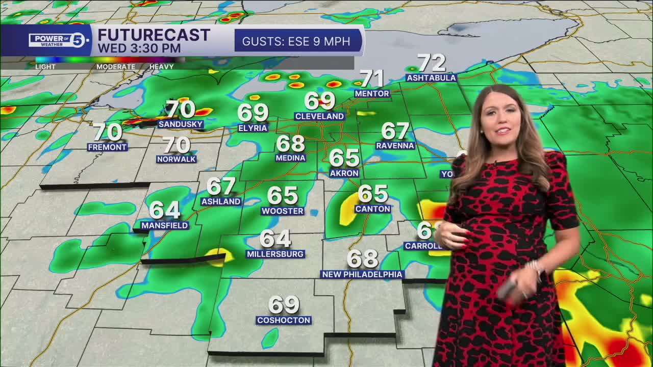
Around lunchtime, rain chances look to be at their highest. A few thunderstorms are possible, along with pockets of heavy rain, that could lead to localized flooding. While we need rainfall in the midst of this drought, we also do not want too much rain too fast. By the early evening, rain looks to become more sporadic, but there will be continued rain chances Wednesday night and even Thursday!
Plan for more hit-and-miss showers and storms on Thursday, but the rain potential will decrease each day into the weekend, so keep the umbrellas handy, NEO, through the work week! Temperatures will be closer to average, with highs in the low and mid-70s for the rest of the 7 Day forecast. Speaking of the weekend, it is looking dry!
DAILY FORECAST:
Tuesday Night: Mostly cloudy, a couple of showers overnight.| Low: 63º
Wednesday: Widespread t-showers. Heavy rain is possible.| High: 72º
Thursday: A few t-showers, cooler.| High: 73º
Friday: Isolated t-showers.| High: 73º
Saturday: Looking much drier and seasonable.| High: 76º
Sunday: Sun is making a return! | High: 75º
Want the latest Power of 5 weather team updates wherever you go? Download the News 5 App free now: Apple|Android
Click here to view our interactive radar.
Follow the News 5 Weather Team:
Trent Magill: Facebook & Twitter
Katie McGraw: Facebook & Twitter
Phil Sakal: Facebook & Twitter
Allan Nosoff: Facebook & Twitter
