


CLEVELAND — Winds will remain strong, with gusts of 30 to 40+ for most of the overnight. Temperatures will tumble, big time, down to below freezing by 6 a.m. as the morning commute commences. That rapid drop with high wind and lots of standing water will lead to a flash freeze across much of the area. So you will want to give yourself extra time to get anywhere Friday morning.
As the cold crashes down, the lake effect snow will pick back up into Friday. 1 to 3 inches are possible during the day Friday in the primary snowbelt, and about an inch in the secondary snowbelt. It will feel like single digits on Friday, as wind gusts will remain from 30 to 40 mph for most of the day.
DAILY FORECAST:
Friday: Lake effect snow showers. Windy and Colder. | High: 22º
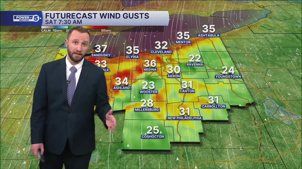
Saturday: Mostly Cloudy and Warmer. Stray shower. | High: 41º
Sunday: Mostly cloudy. Chilly. | High: 31º
Monday: Mostly cloudy. Chilly. | High: 35º
Tuesday: Rain showers possible. Warmer. | High: 45º
Christmas Eve: Mostly cloudy. Drier. | High: 44º
Christmas Day: Rain showers and mild temperatures. | High: 53º
Want the latest Power of 5 weather team updates wherever you go? Download the News 5 App free now: Apple|Android
Click here to view our interactive radar.
Follow the News 5 Weather Team:
Trent Magill: Facebook & Twitter
Katie McGraw: Facebook & Twitter
Phil Sakal: Facebook & Twitter
Allan Nosoff: Facebook & Twitter
