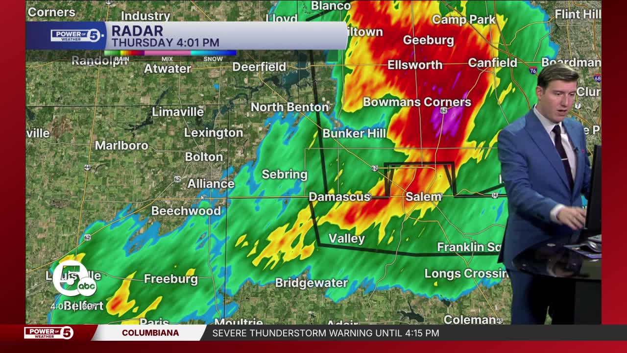


CLEVELAND — Strong storms are exiting NEO tonight.
Once the storms diminish tonight and winds decrease, anticipate some fog, especially near the lake.
After a foggy morning, it is a fully dry day on Friday...and that is the pick of the week! It will be much drier, calmer, and a touch cooler, especially farther north.
Enjoy the dry weather while it lasts!
MORE storms are likely into Saturday afternoon. They can also be severe, with damaging wind the highest threat at this early juncture.
Those storms will be ahead of a cold front that will usher in much colder temperatures by Sunday. A stray flake could even be possible on Sunday and early Monday!
Plan for temperatures only in the 40s for the start of the work week, but 60s should return by midweek!
DAILY FORECAST:
Tonight: Scattered storms diminish, fog late. | Low: 50°
Friday: Drying out early. Cooler. | High: 65º
Saturday: More heat, more humidity, more storms, more severe potential. | High: 75º
Sunday: Temps crash, stray flakes. | High: 47º
Monday: Chilly again. Stray flakes. | High: 40º
Tuesday: Warming up! More sunshine. | High: 66º
Monday: More sun and pleasant. | High: 67º
Want the latest Power of 5 weather team updates wherever you go? Download the News 5 App free now: Apple|Android
Click here to view our interactive radar.
Follow the News 5 Weather Team:
Trent Magill: Facebook & Twitter
Katie McGraw: Facebook & Twitter
Phil Sakal: Facebook & Twitter
Allan Nosoff: Facebook & Twitter
