



CLEVELAND — The wildfire smoke has returned and will continue to linger into Monday. Some air quality concerns will remain, mainly for those with respiratory issues, but nothing like it was this past Thursday and Friday.
Most areas will begin the new work week in the mid to upper 50s away from Lake Erie. Those along the lake shore will be around 60 to start Monday morning.
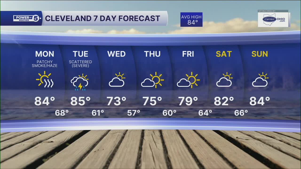
More seasonable daytime warmth for Monday and Tuesday. Highs climb back into the low to mid-80s, with more noticeable humidity to begin the workweek.
We will remain dry on Monday, but storm chances return on Tuesday. A cold front will bring the threat of severe storms, with damaging gusts the primary concern, but cannot completely rule out isolated hail and tornado chances. Still, details need to be worked out on the timing of storms on Tuesday.
Behind the front, it will feel like a different season! We'll go from the mid-80s on Tuesday to only the low to mid-70s for highs by Wednesday and Thursday, and lows in the 50s at night.
We'll see much more comfortable humidity return for the middle and end of the week, under mostly sunny skies!
DAILY FORECAST:
Monday: Warmer, closer to the norm. Partly sunny. | High: 84º
Tuesday: Storms returning. Severe storms possible. Humid. | High: 85º
Wednesday: Drying out and much cooler! | High: 73º
Thursday: More sunshine. Well below average. | High: 75º
Friday: Mostly sunny. Pleasant. | High: 79º
Saturday: Partly cloudy. Touch below par. | High: 82º
Want the latest Power of 5 weather team updates wherever you go? Download the News 5 App free now: Apple|Android
Click here to view our interactive radar.
Follow the News 5 Weather Team:
Trent Magill: Facebook & Twitter
Katie McGraw: Facebook & Twitter
Phil Sakal: Facebook & Twitter
Allan Nosoff: Facebook & Twitter
