



CLEVELAND —
Pushing big heat today before HEAVY rain returns Wednesday and a chill settles in for the weekend
A couple light showers are still hanging around early this morning, mainly south of Cleveland, but they won’t last long. Most should be gone by 5 or 6 AM.
Then the weather completely turns around.
Sun takes over, southwest winds pick up and temps surge into the mid 70s this afternoon. That puts us within a few degrees of record highs in the upper 70s. Not bad for November!
Enjoy it, because Wednesday looks much different.
Wednesday brings heavy rain and strong winds
Showers return late Wednesday morning, but the more impactful weather arrives during the afternoon.
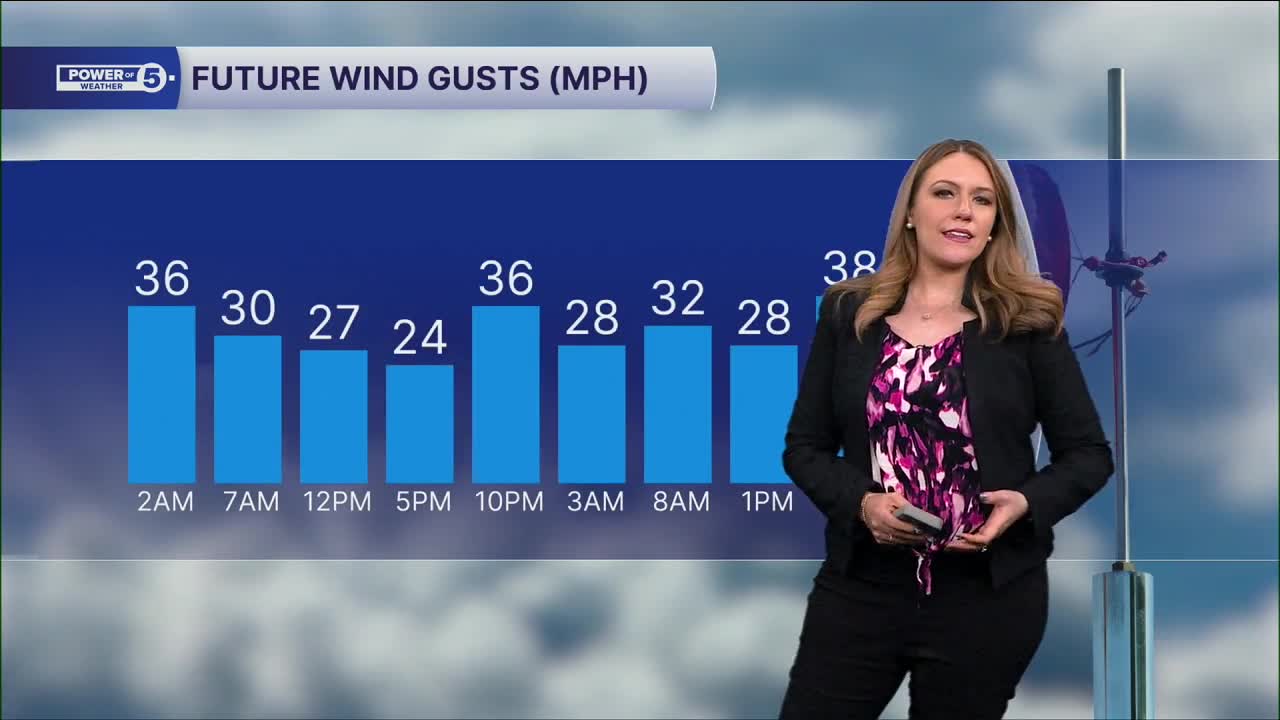
Periods of heavy rain are likely along with a strong, gusty wind. Gusts could top 30 mph, even as temps make another run toward 70.
And all those beautiful fall leaves we’ve been enjoying? They could become part of the problem.
Wet leaves can pile up over storm drains and slow down runoff during heavier downpours. That could add to the risk for street and poor-drainage flooding Wednesday, especially where drains are already covered.
If you have a storm drain near your house, today is a good day to safely clear away leaves while it’s dry.
November returns
Wednesday’s system finally knocks down the warmth. Behind it, we’ll settle back into cooler, more seasonable November temps. I'm talking afternoons in the 40s/50s!
Soak up today’s sunshine and 70s. The weather gets a lot busier tomorrow.
5-Day Forecast:
Election Day: Sun & clouds, breezy & warmer. | High: 75º
Wednesday: Rain likely, heavy at times. | High: 70º
Thursday: Looking mostly dry but cooler. | High: 64º
Friday: Isolated showers. Even cooler. | High: 58°
Saturday: Isolated showers. Even cooler again. | High: 51º
Learn the lingo: The Power of 5 Weather Team wants to get you your forecast closer to home. We have broken NEO into 5 separate and distinct regions. Find your region to get your hyper-local forecast!
- Cleveland Metro Region: Cuyahoga County. This region includes cities such as Cleveland, Parma, Westlake, Berea, Strongsville, Independence, Solon, Beachwood, and Euclid.
- Snowbelt Region: Lake, Geauga, and Ashtabula Counties. This includes cities such as Mentor, Geneva, Ashtabula, Bainbridge, Chardon, Burton, and Orwell.
- Akron-Canton Region: Summit, Stark, and Portage Counties. This region includes cities such as Akron, Canton, Hudson, Ravenna, Mantua, Alliance, and Canal Fulton.
- West Region: Lorain, Medina, Erie, Huron, Richland, and Ashland Counties. This region includes cities such as Lorain, Wellington, Medina, Lodi, Ashland, Mansfield, Willard, and Sandusky.
- South Region: Wayne, Holmes, Tuscarawas, Carroll Counties. This region includes Wooster, Millersburg, New Philadelphia, Strasburg, Mineral City, Carrollton, and Newcomerstown
You can send us photos and short videos by filling out the form below:
Want the latest Power of 5 weather team updates wherever you go? Download the News 5 App free now: Apple|Android
Click here to view our interactive radar.
Follow the News 5 Weather Team:
Trent Magill: Facebook & Twitter
Katie McGraw: Facebook & Twitter
Phil Sakal: Facebook & Twitter
Allan Nosoff: Facebook & Twitter
