



CLEVELAND — Keep the jackets and warm blankets on tonight! And keep them handy again on Thursday through Friday morning.
Skies will remain mostly cloudy through this evening. Skies will become partly cloudy overnight, as lows drop back into the low to mid-40s, with some upper 30s possible in isolated areas.
Low-lying areas, inland off the lake, MAY see some patchy frost over the next two nights. It looks like there is a slightly better shot at it Friday morning before we rebound by the afternoon.
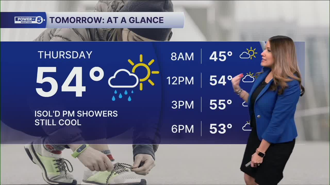
A couple of showers cannot be ruled out on Thursday afternoon (especially in our eastern communities). Highs will remain in the mid 50s.
We'll be back to near 60º on Friday, but it's not totally dry. More rain and thunder Friday through the weekend. These waves of rain will keep us a bit below the norm through Mother's Day Weekend.
DAILY FORECAST:
Wednesday Night: Variable clouds. Stray shower. Chilly. | Low: 40º
Thursday: Slim chance for a shower. Still chilly | High: 54º
Friday: A few showers are possible in the morning & again at night. Not as chilly. | High: 63º
Saturday: Mostly cloudy. Showers possible, especially early. Warmer. | High: 70º
Sunday: Falling temperatures. Scattered showers possible. | High: 62º AM -> 50s by afternoon
Want the latest Power of 5 weather team updates wherever you go? Download the News 5 App free now: Apple|Android
Click here to view our interactive radar.
Follow the News 5 Weather Team:
Trent Magill: Facebook & Twitter
Katie McGraw: Facebook & Twitter
Phil Sakal: Facebook & Twitter
Allan Nosoff: Facebook & Twitter
