

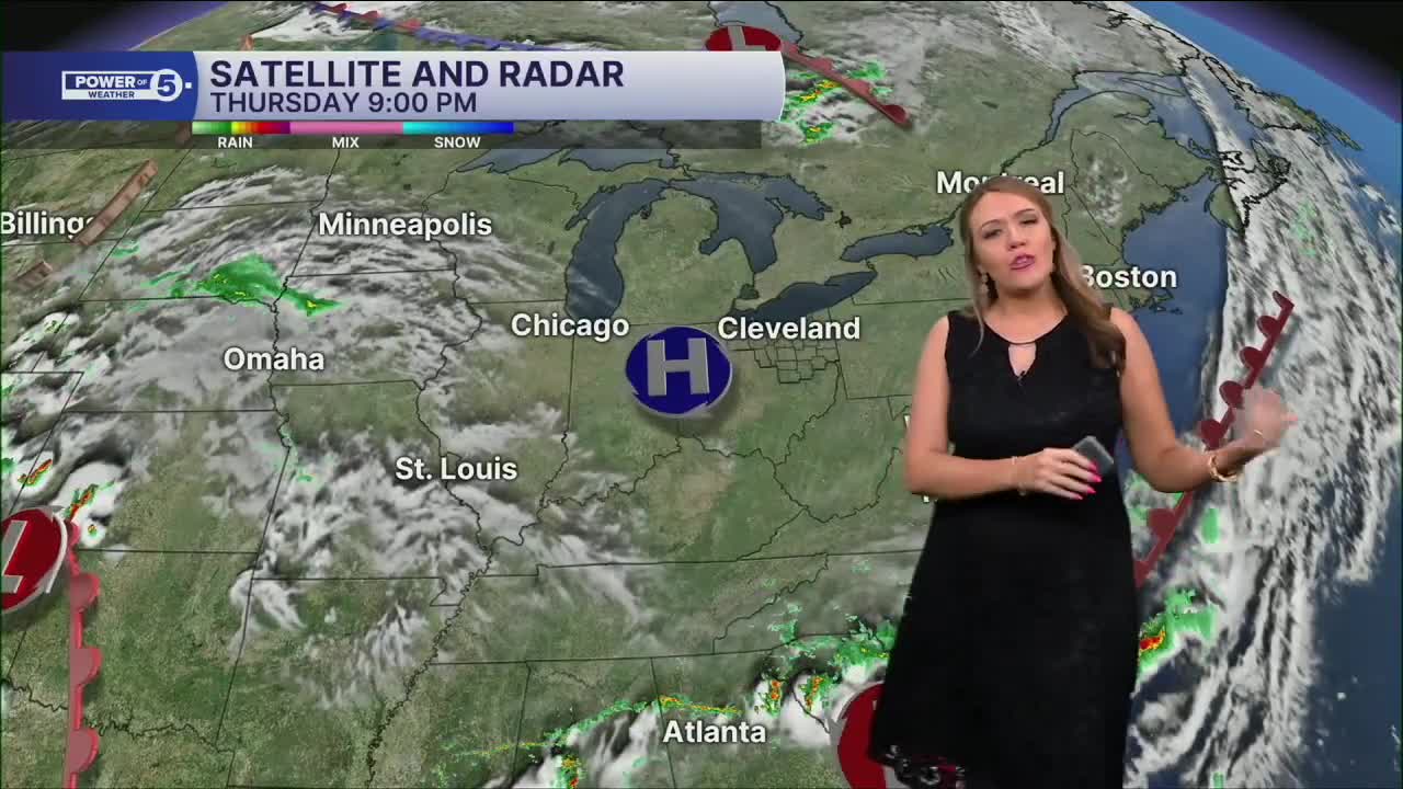


CLEVELAND — It will be jacket weather again this morning with lows in the lower and middle 50s across Northeast Ohio, making it feel more like September than July. It will be a couple of degrees warmer than Thursday morning, but it will definitely be crisp!
The warming trend continues Friday as temps push the upper 70s and near 80. We'll be in the lower 80s this weekend with a mix of sun and clouds, but rain chances return, too.
Most of Saturday looks dry, but an isolated shower can't be ruled out to the east. A few more showers are possible Sunday, luckily not severe at this point. We're keeping an eye on early next week when a few thunderstorms could move in, and severe storms are possible. It is too soon for those details, so it is important to remain weather aware into early next week.
DAILY FORECAST:
Thursday Night: Clear & chilly. | Low: 56º
Friday: Mostly sunny. Pleasant. Bit warmer. | High: 79º
Saturday: Partly cloudy with a slim chance of rain. | High: 83º
Sunday: Few showers. Thunder possible. | High: 85º
Monday: Few storms. Hot and humid. | High: 87º
Tuesday: Few storms. Cooler but still humid. | High: 81º
Want the latest Power of 5 weather team updates wherever you go? Download the News 5 App free now: Apple|Android
Click here to view our interactive radar.
Follow the News 5 Weather Team:
Trent Magill: Facebook & Twitter
Katie McGraw: Facebook & Twitter
Phil Sakal: Facebook & Twitter
Allan Nosoff: Facebook & Twitter
