


CLEVELAND — Be sure to grab an extra layer for any Friday evening plans you have, as temperatures will dip into the low 50s and upper 40s Friday night and into Saturday morning with mostly clear skies and calm winds.
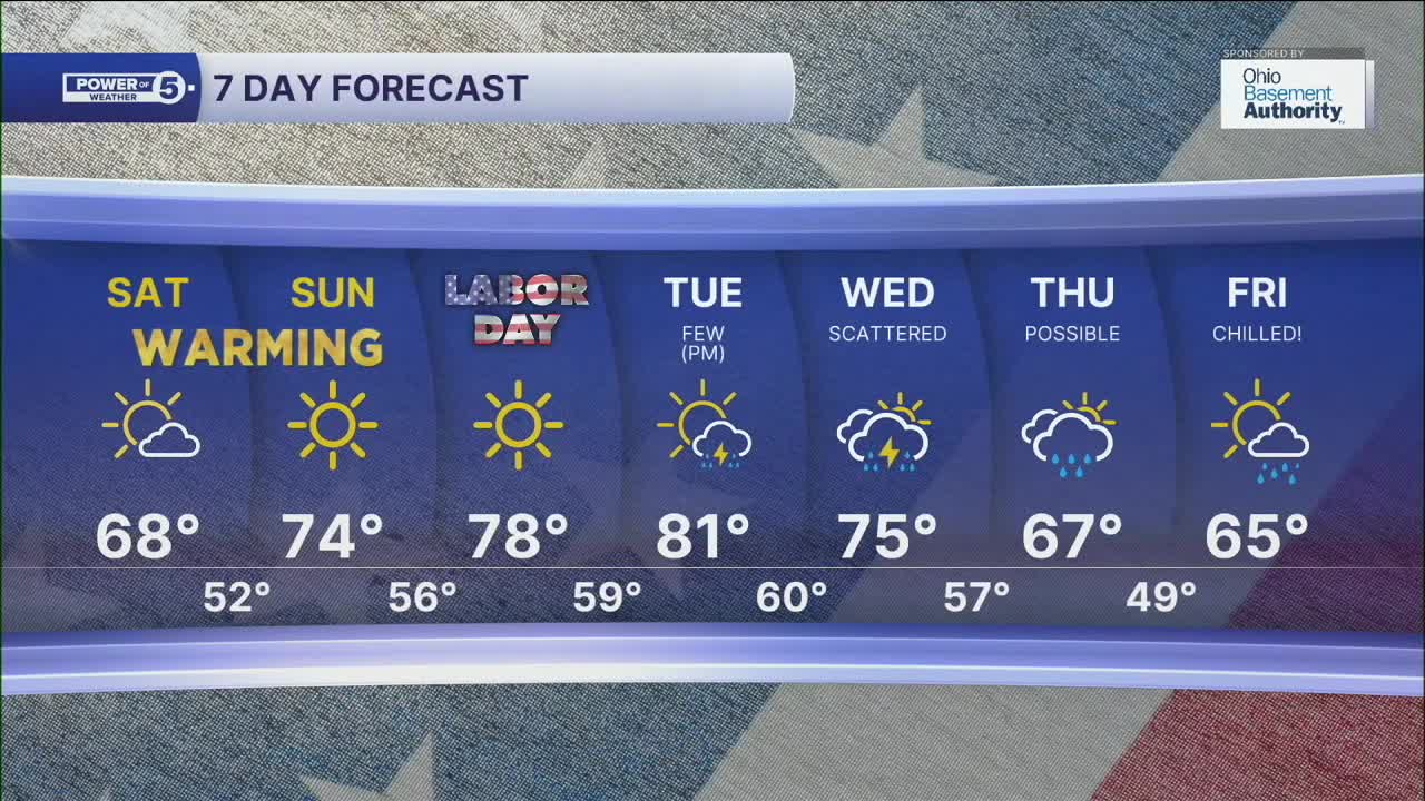
The holiday weekend will start chilly, with temperatures 10 to 15 degrees below average, but a gradual warming trend is expected. Plan for upper 60s along the lakeshore to the low 70s inland on Saturday, mid to upper 70s on Sunday, and upper 70s to low 80s by Labor Day! You should be able to get in one more visit to the area pools before they close after LDW.
It will stay dry the entire weekend under a ridge of high pressure. It will be warm again on Tuesday, but storm chances look to return by Tuesday evening. Another powerful cold front is expected to take aim at our region next week. Storms are most likely on Wednesday and Thursday. Following the storms, temperatures are expected to drop again by the end of next week with highs only in the 60s once again.
DAILY FORECAST:
Friday Night: Chilly temps and quiet.|Low: 50º
Saturday: More sun but only slightly warmer. | High: 68º
Sunday: Super bright and a bit warmer. | High: 74º
Labor Day: Seasonable sunshine! | High: 78º
Tuesday: Still warm. PM Storms possible south. | High: 81º
Wednesday: Storms likely. | High: 76º
Want the latest Power of 5 weather team updates wherever you go? Download the News 5 App free now: Apple|Android
Click here to view our interactive radar.
Follow the News 5 Weather Team:
Trent Magill: Facebook & Twitter
Katie McGraw: Facebook & Twitter
Phil Sakal: Facebook & Twitter
Allan Nosoff: Facebook & Twitter
