



CLEVELAND —
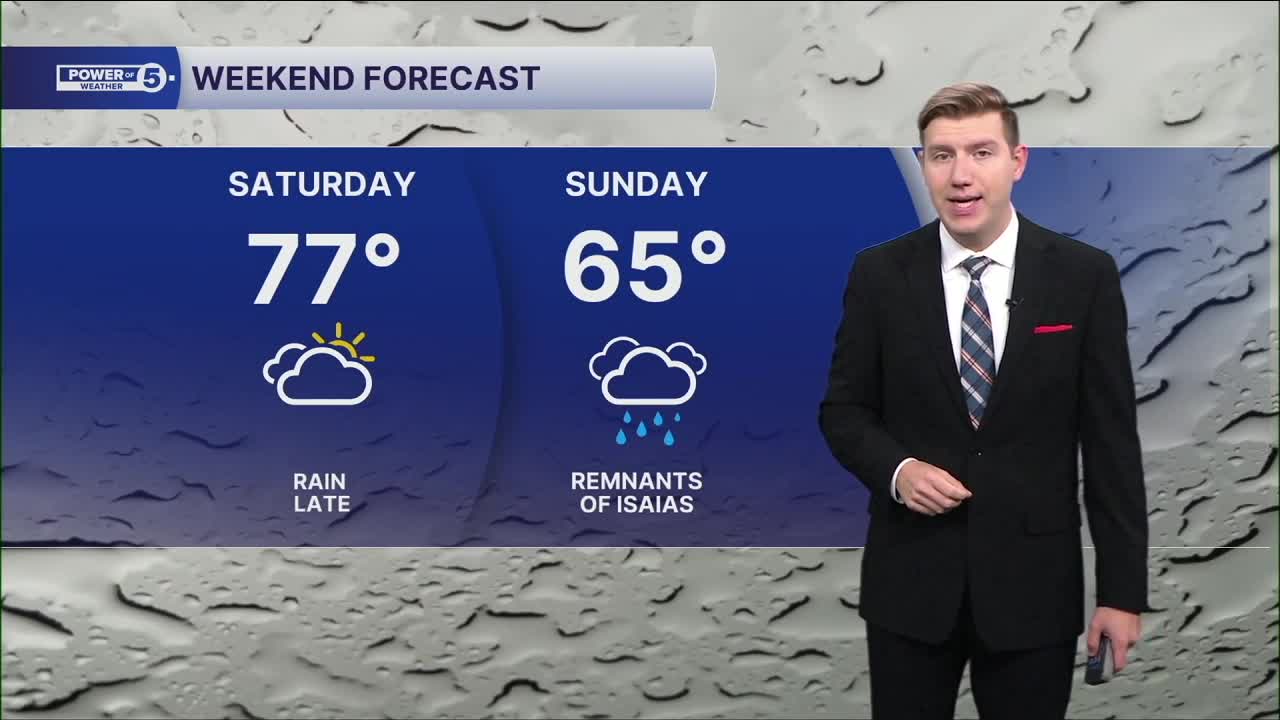
Summer-like Saturday, soaking start Sunday
Clouds from the remnants of Isaias have arrived across the area overnight, but it will stay dry for most of the daylight hours Saturday. The extra clouds have prevented our temperatures from dropping at night, and with the warmer and more humid wind, temps will soar into the afternoon to summer-like levels. Upper 70s and even a few 80-degree temps in our West region. If you have outdoor plans, you're in good shape during the day. Rain holds off until Saturday night, unless you're south of US-30, where a few rain showers are expected by early this evening.
Moderate to heavy rain will spread across Northeast Ohio overnight, after midnight, and continue through the first half of Sunday. There is going to be a large range of rain totals across the entire viewing area. The highest rainfall amounts are expected in our South region; 2 or more inches of rain will be possible, as the heaviest rain bands are expected to pivot through there. Farther to the north and west, there will likely be less than 1 inch, with more breaks between the rain bands.
We need rain, but we do not want too much too fast. There could be a few instances of localized flooding, especially in low-lying and poor-drainage areas. Keep that in mind if you're traveling Sunday or have outdoor events planned.
It will also be gusty on Sunday with southeast winds around 15 mph and gusts of 25-35 mph. Sunday evening looks much drier, as does Monday, before a cold front arrives on Tuesday with another shot of rain and storms.
Power of 5 Regions Highlight: Cleveland Metro Region
If you haven't heard yet, it's win-or-go-home tonight at Progressive Field! The Guards forced a Game 5 on Thursday, with first pitch set for 8 this evening. There can be a couple of light passing rain showers, but the heavy rain will wait until postgame. No matter where you are across the Cleveland metro, the worst will be around sunrise on Sunday.
5-Day Forecast:
Today: Mostly cloudy. Quite warm. | High: 77º
Sunday: Soaking rain in the morning from the remnants of Isaias. | High: 65º
Monday: Trying to dry out.| High: 75º
Tuesday: Thunderstorms possible. | High: 77º
Wednesday: Mostly cloudy. Rain possible. Colder. | High: 65º
Learn the lingo: The Power of 5 Weather Team wants to get you your forecast closer to home. We have broken NEO into 5 separate and distinct regions. Find your region to get your hyper-local forecast!
- Cleveland Metro Region: Cuyahoga County. This region includes cities such as Cleveland, Parma, Westlake, Berea, Strongsville, Independence, Solon, Beachwood, and Euclid.
- Snowbelt Region: Lake, Geauga, and Ashtabula Counties. This includes cities such as Mentor, Geneva, Ashtabula, Bainbridge, Chardon, Burton, and Orwell.
- Akron-Canton Region: Summit, Stark, and Portage Counties. This region includes cities such as Akron, Canton, Hudson, Ravenna, Mantua, Alliance, and Canal Fulton.
- West Region: Lorain, Medina, Erie, Huron, Richland, and Ashland Counties. This region includes cities such as Lorain, Wellington, Medina, Lodi, Ashland, Mansfield, Willard, and Sandusky.
- South Region: Wayne, Holmes, Tuscarawas, Carroll Counties. This region includes Wooster, Millersburg, New Philadelphia, Strasburg, Mineral City, Carrollton, and Newcomerstown
You can send us photos and short videos by filling out the form below:
Want the latest Power of 5 weather team updates wherever you go? Download the News 5 App free now: Apple|Android
Click here to view our interactive radar.
Follow the News 5 Weather Team:
Trent Magill: Facebook & Twitter
Katie McGraw: Facebook & Twitter
Phil Sakal: Facebook & Twitter
Allan Nosoff: Facebook & Twitter
