



CLEVELAND — Anticipate upper 30s and even some areas will see mid 30s early Sunday morning. So you'll need a jacket as you're out and about. Temperatures will not rebound much Sunday afternoon.
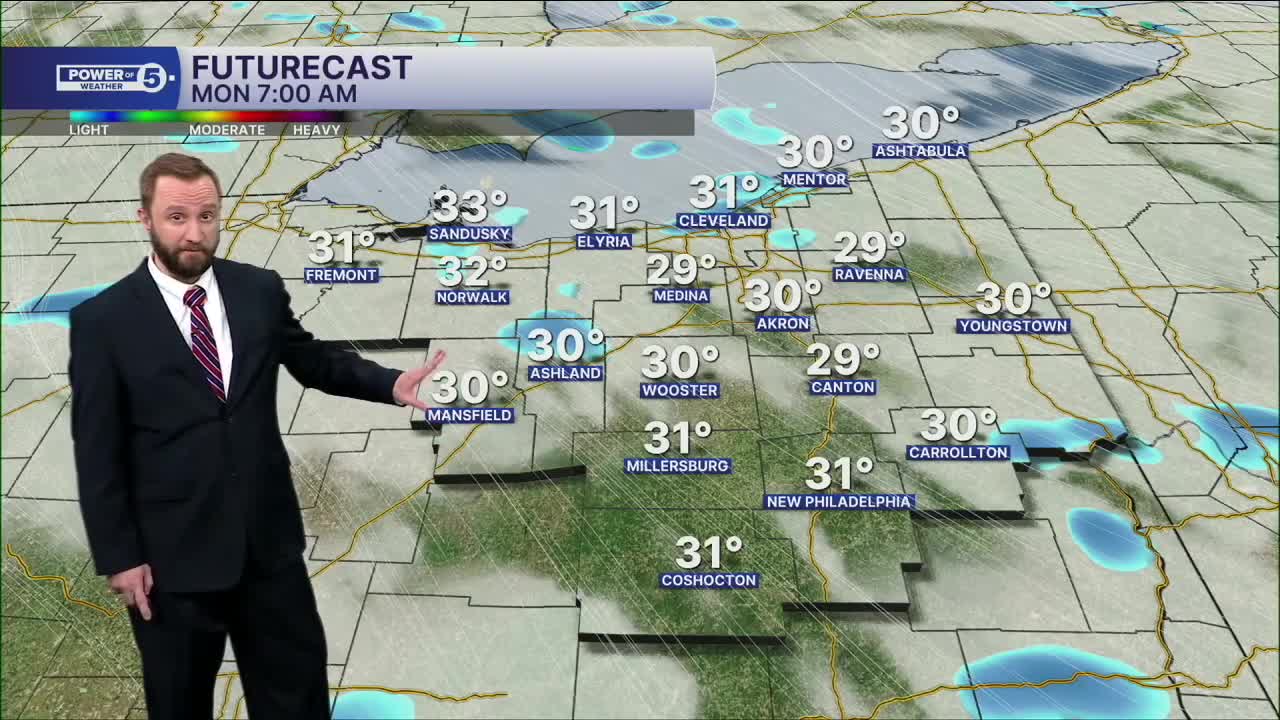
Highs are stuck in the 40s on Sunday for most areas. We'll even be looking for a couple of showers, with wet flakes mixing in on Sunday afternoon through Monday morning! Plan for wintry temperatures on Monday as well, with a frost and or freeze Monday and Tuesday morning, before a new warm-up takes shape late Tuesday through the end of the week.
DAILY FORECAST:
Sunday: Staying chilly and breezy with light PM rain/mix. | High: 48º
Monday: Cold with isolated rain/snowflakes. | High: 39º
Tuesday: More seasonable with sunshine. | High: 64º
Wednesday: Light rain possible. | High: 66º
Thursday: Rain possible and warmer. | High: 73º
Friday: Drier and touch warmer. | High: 76º
Saturday: Better chance of rain. Cooler. | High: 67º
Want the latest Power of 5 weather team updates wherever you go? Download the News 5 App free now: Apple|Android
Click here to view our interactive radar.
Follow the News 5 Weather Team:
Trent Magill: Facebook & Twitter
Katie McGraw: Facebook & Twitter
Phil Sakal: Facebook & Twitter
Allan Nosoff: Facebook & Twitter
