


CLEVELAND — Colder and colder air will move in as we wrap up the work week, with dangerous wind chills returning on Friday into the weekend.
Most areas will hang out in the mid 20s on Thursday, the into the teens by the wee hours of Friday morning, and then single digits Friday, BELOW zero Saturday morning, and single digits again Saturday afternoon. If we stay in the single digits on Saturday, then that'll be the coldest day since 2019!
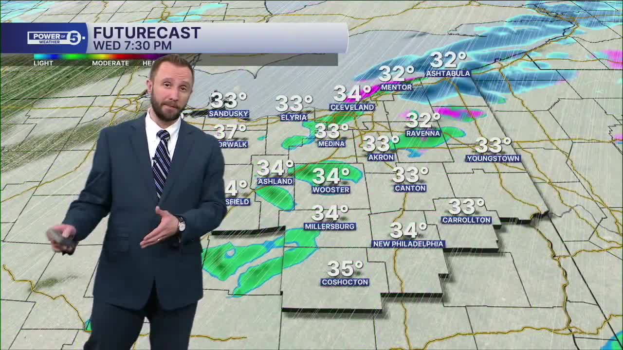
All of that before our first BIG snow storm of the year. Potentially. There are two storms that haven't even formed yet. Those two merge and head east. Possibly into Ohio by late Saturday into Sunday. That could mean big-time snow accumulations. Still way too early for specifics and exact timing though. So you'll need to stay connected!
Temperatures will remain well below average to round out next week.
DAILY FORECAST:
Thursday: Colder with isolated lake effect snow showers. | High: 26º
Friday: Isolated Lake effect snow showers with dropping temps. Sub-Zero Chills | High: 8º
Saturday: Brutal cold. Sub-Zero Chills. | High: 9º
Sunday: Winter Storm looking more likely with heavy snow and wind. | High: 17º
Monday: Snow Showers Possible. Frigid. | High: 16º
Tuesday: Partly Sunny. Touch Warmer. | High: 17º
Want the latest Power of 5 weather team updates wherever you go? Download the News 5 App free now: Apple|Android
Click here to view our interactive radar.
Follow the News 5 Weather Team:
Trent Magill: Facebook & Twitter
Katie McGraw: Facebook & Twitter
Phil Sakal: Facebook & Twitter
Allan Nosoff: Facebook & Twitter
