


CLEVELAND — Rain and storms are tapering off tonight after a few strong and severe storms impacted our western and southwestern communities.
Temperatures will begin to fall back into the low to mid-50s for most late tonight into early Thursday, but some areas north and east of Greater Cleveland could see the 40s.
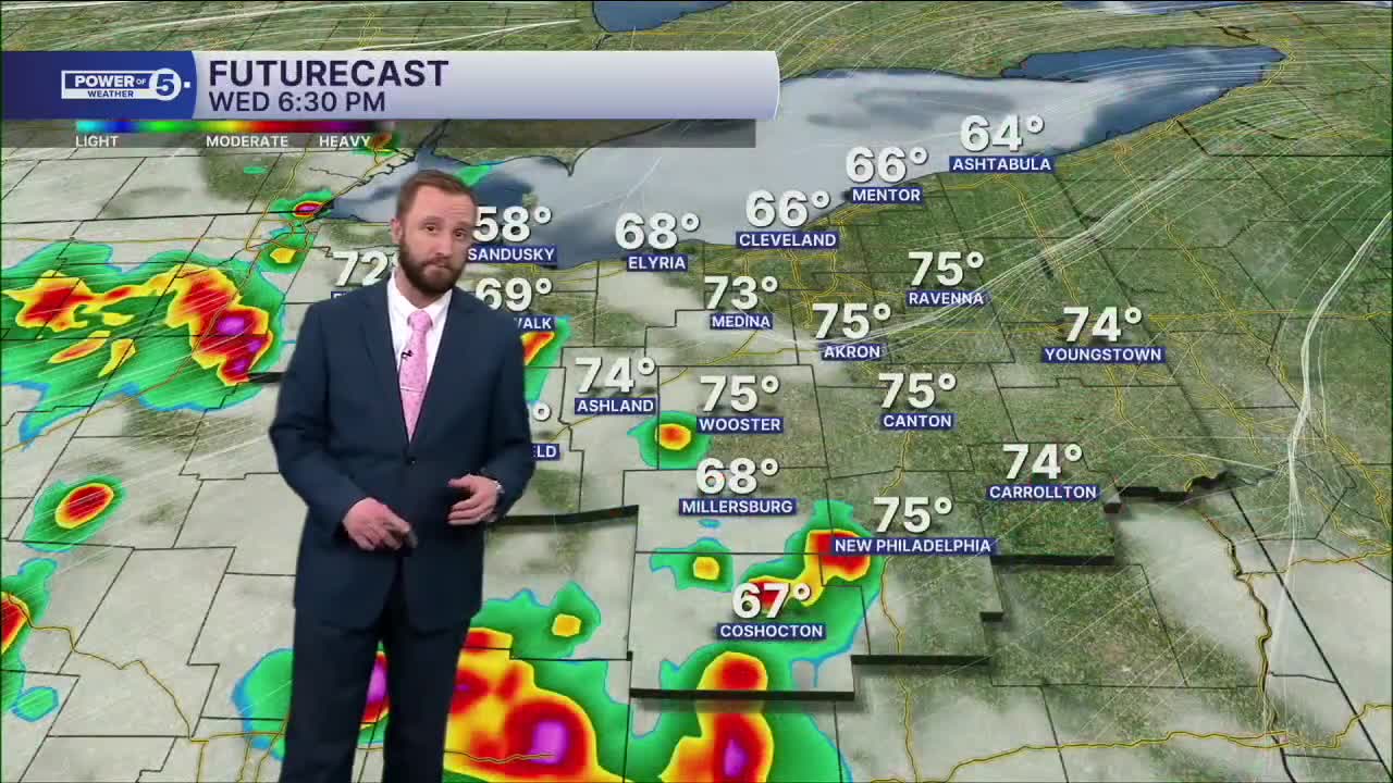
We warm up a few more degrees on Thursday with a slim chance for a couple of t-storms in the afternoon and evening, especially in our southern communities. Highs once again in the mid to upper 70s, except the shoreline from Cleveland to Ashtabula, due to the lake breeze, so that it will be a little cooler there.
We warm up even more on Friday. Highs could be around 80 degrees! But there is a much better chance for rain to hold off until Friday late afternoon and evening. It is unfortunate timing, and that could impact Friday evening plans. The rain should clear out pretty early on Saturday, and most of the weekend looks dry and seasonable with temperatures in the low 60s.
Another chance for storms returns early next week. Current timing brings storms in late Monday into early Tuesday.
DAILY FORECAST:
Friday: Very warm & windy with storms by the end of the afternoon. | High: 80º
Saturday: Storms possible early, more seasonable after. | High: 63º
Sunday: Partly cloudy and dry. | High: 60º
Monday: Scattered storms return. Warming up. | High: 72º
Tuesday: Few showers. Cooler again. | High: 65º
Wednesday: Partly sunny and cooler. | High: 60º
Want the latest Power of 5 weather team updates wherever you go? Download the News 5 App free now: Apple|Android
Click here to view our interactive radar.
Follow the News 5 Weather Team:
Trent Magill: Facebook & Twitter
Katie McGraw: Facebook & Twitter
Phil Sakal: Facebook & Twitter
Allan Nosoff: Facebook & Twitter
