



CLEVELAND —
Nothing Scary About This Forecast
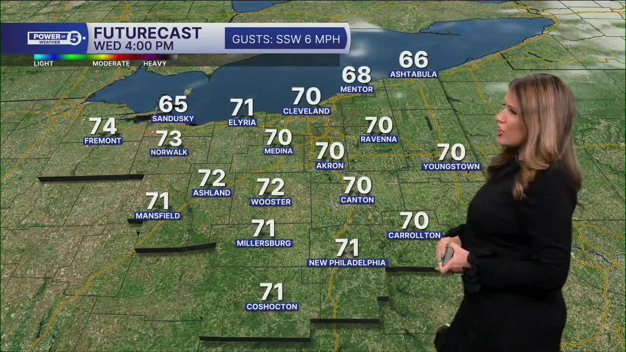
It will be milder overnight with temperatures in the upper 40s to low 50s. Wednesday gets even warmer. We’ll start the day with more clouds and isolated sprinkles during the morning cannot be ruled out.
Don’t cancel any plans over it. Most of us stay dry, and the afternoon looks much better with tons of sun and a highs back in the 70s for much of NEO.
A stray shower is also possible late Thursday into Friday as a cold front moves through. And yes, we’re watching Halloween closely. More details below....
Regional Highlight: West Region...Best shower chance and then the warmest region later
If anyone manages to catch a shower or sprinkle Wednesday morning, the West Region has the best shot. Rain will be pretty spotty, so plenty of neighborhoods could stay completely dry, but chances drop off the farther east you go.
The clouds won’t last all day either. Wednesday afternoon turns much brighter, with plenty of sun and temps climbing toward the mid 70s.
LOOKING AHEAD:
Our next better shot at rain comes Thursday night into Friday. This rain will be along and ahead of a cold front, but once again looks light and isolated. Temperatures will drop about ten degrees from Thursday (75 degrees) to Friday (64 degrees). The better chance for rain is on Sunday.
Right now, trick-or-treating looks dry, as Sunday's system is slowing down. Rain will be nearby, so there’s not much wiggle room if the timing changes. For now, I’d keep the costumes and trick-or-treating plans as-is, but check back over the next couple of days and we will be sure to keep you posted!
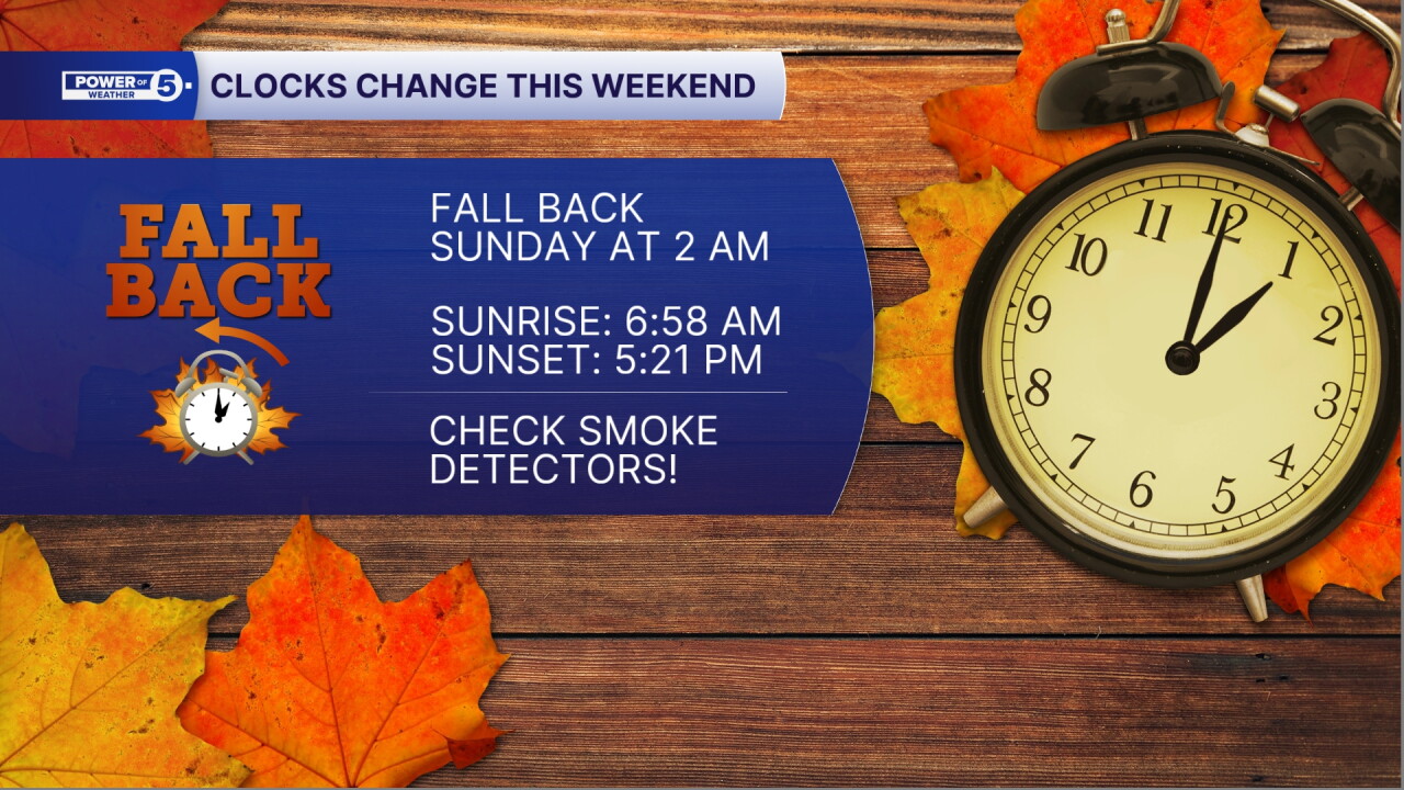
REMINDER: Time Change this weekend
We meddle with time again at 2 am Sunday, clocks will go back one hour. This will bring the sun up earlier, but also it will set earlier too. On Sunday, the sun will rise at 6:58 am and set at 5:21 pm!
5-Day Forecast:
Wednesday Night: Mostly cloudy, milder night with steady temps. | Low: 52º
Thursday: Partly sunny & a chance for evening rain. | High: 75º
Friday: Partly sunny. Isolated showers | High: 67º
Halloween: Partly sunny, mild, showers possible late. | High: 66º
Sunday: Few showers possible. Still warm. | High: 67º
Learn the lingo: The Power of 5 Weather Team wants to get you your forecast closer to home. We have broken NEO into 5 separate and distinct regions. Find your region to get your hyper-local forecast!
- Cleveland Metro Region: Cuyahoga County. This region includes cities such as Cleveland, Parma, Westlake, Berea, Strongsville, Independence, Solon, Beachwood, and Euclid.
- Snowbelt Region: Lake, Geauga, and Ashtabula Counties. This includes cities such as Mentor, Geneva, Ashtabula, Bainbridge, Chardon, Burton, and Orwell.
- Akron-Canton Region: Summit, Stark, and Portage Counties. This region includes cities such as Akron, Canton, Hudson, Ravenna, Mantua, Alliance, and Canal Fulton.
- West Region: Lorain, Medina, Erie, Huron, Richland, and Ashland Counties. This region includes cities such as Lorain, Wellington, Medina, Lodi, Ashland, Mansfield, Willard, and Sandusky.
- South Region: Wayne, Holmes, Tuscarawas, Carroll Counties. This region includes Wooster, Millersburg, New Philadelphia, Strasburg, Mineral City, Carrollton, and Newcomerstown
You can send us photos and short videos by filling out the form below:
Want the latest Power of 5 weather team updates wherever you go? Download the News 5 App free now: Apple|Android
Click here to view our interactive radar.
Follow the News 5 Weather Team:
Trent Magill: Facebook & Twitter
Katie McGraw: Facebook & Twitter
Phil Sakal: Facebook & Twitter
Allan Nosoff: Facebook & Twitter
