


CLEVELAND — Rain is moving back into Northeast Ohio on Sunday after Mother Nature set off fireworks with storms on the 4th of July. While most storms won't be damaging, there is a low-end severe risk.
The more widespread rain helps bring cooler temperatures, with highs in the lower 80s for most. That is around average for the first time in a week, after the hottest stretch in nearly four decades.
How?
From Wednesday through Friday, highs at Hopkins topped out at 97, 96, and 95 degrees. Three straight 95+ days have not occurred in Cleveland since July 1988.
Highs in the low to mid 80s are expected for most of the first half of the workweek. Rain chances will begin to taper off by Monday night or early Tuesday, but that will allow temperatures to bump back up into the mid to upper 80s by Wednesday and Thursday.
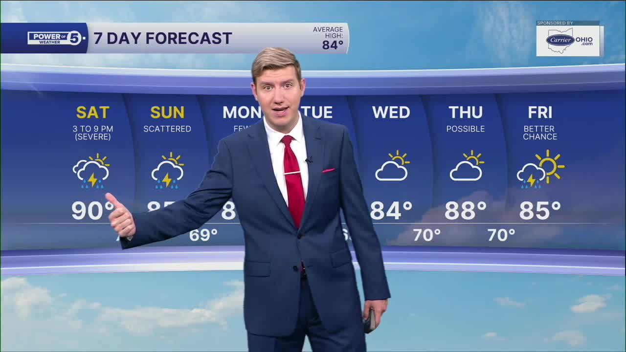
DAILY FORECAST:
Sunday: Flood threat. Scattered downpours and storms. Isolated wind damage possible. | High: 81º
Monday: A few more storms. Not as hot. | High: 79º
Tuesday: Isolated thunder but still more seasonable. | High: 80º
Wednesday: Partly sunny. Warmer. | High: 86º
Thursday: T'storm possible. Warmer & humid. | High: 88º
Friday: Few storms. Warm & muggy. | High: 85º
Saturday: Drier. Partly cloudy & warm. | High: 85º
Want the latest Power of 5 weather team updates wherever you go? Download the News 5 App free now: Apple|Android
Click here to view our interactive radar.
Follow the News 5 Weather Team:
Trent Magill: Facebook & Twitter
Katie McGraw: Facebook & Twitter
Phil Sakal: Facebook & Twitter
Allan Nosoff: Facebook & Twitter
